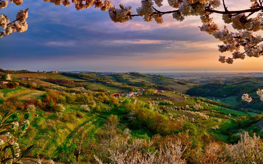
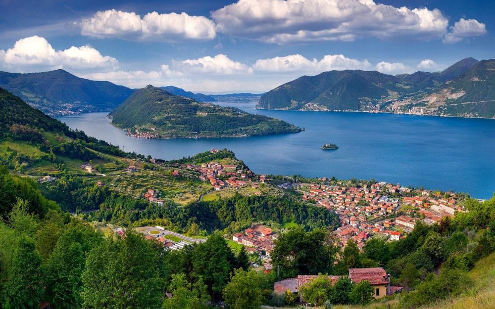
The Seriana Valley, along with the Brembana Valley, is one of the main valleys in the province of Bergamo and the Orobie Mountains. It takes its name from the Serio River, which runs through it.
The lower valley is very anthropomorphized, with large and populated villages and the presence of numerous industrial areas, which denote the past and the textile tradition of the Seriana Valley. Going up, the environment begins to change, until the fork for the Presolana pass and the Val di Scalve on one side and the upper Val Seriana on the top. Both branches are configured as typically alpine areas, with wide, green landscapes and majestic peaks. Special mention also goes to the remote, wild and authentic Val di Scalve, a natural continuation of the Seriana Valley after the Presolana pass.
The highest peak is Pizzo di Coca, with its 3050 meters, which is also the highest peak in the provinces of Bergamo and the Orobie. The Presolana, on the other hand, although only 2521 meters high, is known as the “queen of the Orobie” because of its elegant dolomite rock, which gives it a regal aura. But in addition to these, there are two other peaks that exceed 3000 meters (Pizzo Redorta and Scais) and many others come close, so much so that the area of Lake Coca is known as the “Conca dei Giganti”. A true paradise for hikers and mountaineers!
In this article we have listed 10 day trips to do in Val Seriana and Val di Scalve. These are just some of the many options possible in this beautiful area. Surely we forgot some itineraries, while for others there was not enough space, so as not to be excessively long-winded. However, these represent an interesting starting point for those who have decided to start exploring the valley with boots on their feet.
- Shelters
- The village of Maslana
- The Gleno Dam
- The path of the enchanted forest
- Il Pizzo Formico
- Grem Peak
- Mount Misma
- The tour of the Valgoglio lakes
- Pizzo Arera
- The Pizzo Recastello

1. Shelters
Difficulty: hiking
The valleys and peaks of the Seriana Valley are dotted with numerous refuges, where hikers find a warm and welcoming environment, a hearty cuisine and a little rest. The most famous are the Curò Refuge, the Albani Refuge, the Coca Refuge, the Brunone Refuge and the Tagliaferri Refuge. For each of these you will find a dedicated article in our blog, with a map and GPS track that can be downloaded for free.
If you want to learn more about the other refuges in the province of Bergamo, you can read our dedicated article.

2. The Village of Maslana
Difficulty: Hiking
Maslana is a charming village, typically Alpine, located above the town of Valbondione. Featuring stone houses and slate roofs, it is easily accessible with a short walk. In spring, the town is invaded by ibex and it is easy to spot them. In fact, they retreat to these altitudes during the winter, waiting for the season to improve and the snow to melt, to return to altitude. Another good reason to go up to visit Maslana is that during the release of the Serio waterfalls, from here you can enjoy a privileged location and view.
We have described the ascent route to the village of Maslana in a dedicated article, with a map and GPS track that can be downloaded for free.

3. The Gleno Dam
Difficulty: Hiking
This fascinating and not excessively demanding excursion leads to the remains of the Gleno dam, in Val di Scalve. This was placed on the basin of the Gleno stream in order to create a water storage basin and thus generate electricity, and collapsed on December 1, 1923, causing extensive damage and mourning.
The itinerary to visit the Gleno dam has been described in a dedicated article, with a map and GPS track that can be downloaded for free.

4. The path of the enchanted forest
Difficulty: hiking
Here is an itinerary suitable for families with children in tow. It is an easy route that develops inside the forest in Colle Vareno, not far from the ski resort of Monte Pora. Along the path there are wooden sculptures that represent the interpretation of some local legends and alpine folklore, such as gnomes and fairies, and are flanked by explanatory panels that narrate the details.
We have described the itinerary that develops along the path of the enchanted forest in a dedicated article, with a map and GPS track that can be downloaded for free.

5. The Formico Lace
Difficulty: hiking
It is one of the most representative mountains of Val Gandino, a side of the Seriana Valley. Given its modest altitude, it is an ideal trail in any season. From its summit you can enjoy a wide view of the Orobie and the green pastures of Val Gandino.
The ascent route to Pizzo Formico starts right from Val Gandino and we have described it in a dedicated article, with a map and GPS track that can be downloaded for free.

6. Grem Peak
Difficulty: hikers
The Grem Peak is a broad summit located on the watershed between the Val Seriana and Val del Riso, characterized by a long ridge. From its summit, you dominate the town of Zambla and the Conca di Oltre il Colle. The climb starting from the Zambla Pass and following the technically less demanding path, CAI 223, which avoids the passage on the ridge, is an easy itinerary suitable for everyone with a minimum of training.
We have described the ascent route to Cima Grem in a dedicated article, with a map and GPS track that can be downloaded for free.

7. Mount Misma
Difficulty: hikers
It is one of the most representative peaks of the lower Seriana Valley, the first that captures the attention by car up the valley. Given its modest altitude, it is possible to reach its summit all year round. Numerous itineraries allow you to reach it, in our article dedicated to Mount Misma, we described one of the most classic, the one that starts from Pradalunga.

8. Tour of the Valgoglio lakes
Difficulty: hikers
It is a spectacular excursion that leads to admire 5 lakes located at an altitude of about 2000 meters in the splendid Valgoglio, a side of the Seriana Valley. The difference in height and development are quite demanding and require a minimum of training, but apart from this there are no technical or demanding passages.

9. Arera Lace
Difficulty: experienced hikers
Panoramic and isolated peak located along the ridge that separates the Brembana Valley from the Seriana Valley, Pizzo Arera is characterized by spectacular limestone rock walls. It can be reached starting from the Capanna 2000 Refuge, located on its slopes, which you climb starting from the locality of Plassa, in the municipality of Zambla Alta. The last stretch of the itinerary, in addition to having a considerable difference in height, has some passages through a gully that require the help of metal ladders and is therefore reserved for hikers with a minimum of experience.
We have described the ascent route to Pizzo Arera in a dedicated article, with a map and GPS track that can be downloaded for free.

10. Pizzo Recastello
Difficulty: experienced hikers
With its 2886 meters of height, Pizzo Recastello is one of the main elevations of the Orobie. From its top you can enjoy a spectacular view of the Barbellino lake below and the other main peaks of the Seriana Valley. The itinerary, which starts from Valbondione and leads first to the Curò refuge, is anything but simple. In fact, it will be necessary to face almost 2000 meters of elevation gain and passage in a gully equipped with chains before being able to reach its summit.
We have described the itinerary to Pizzo Recastello in a dedicated article, with a map and GPS track that can be downloaded for free.

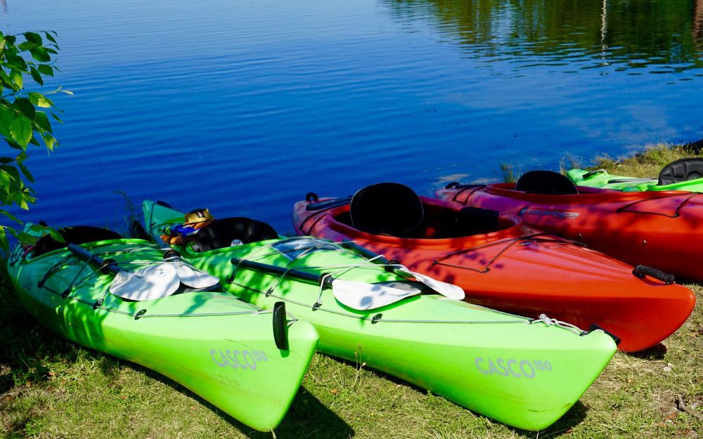
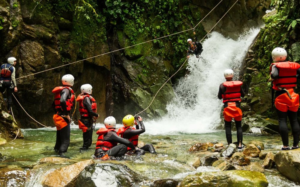
BergamoXP
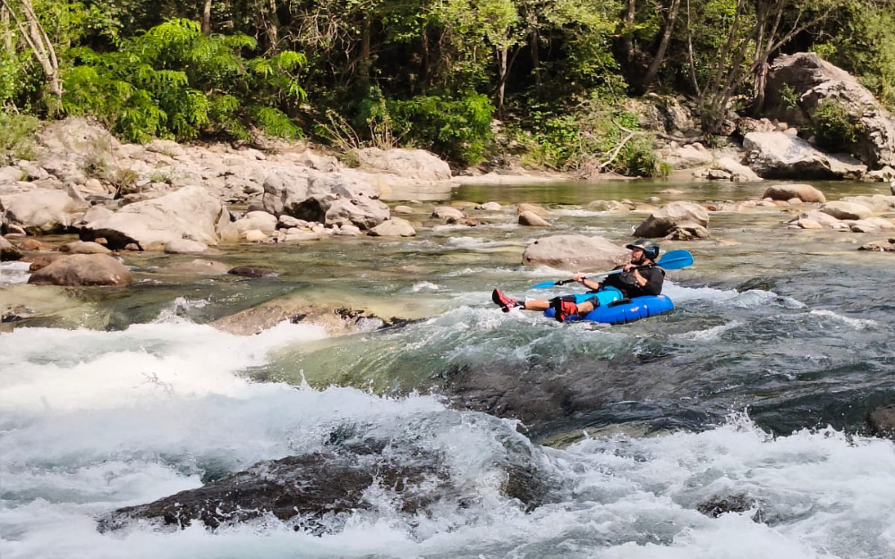
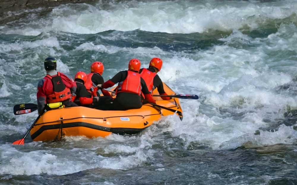
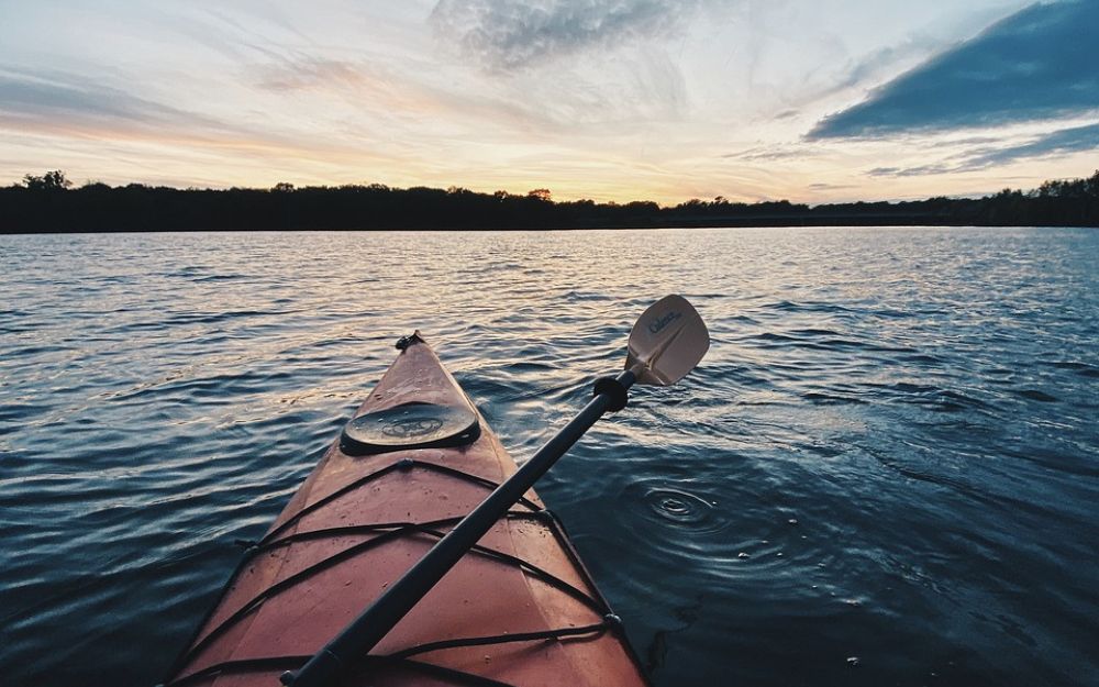
BergamoXP is the first aquatic sports center in the province of Bergamo. We are a team of nature enthusiasts, outdoor and adventure lovers, connoisseurs of our territory and professionals specializing in the disciplines of Kayak, Canyoning, Rafting, Hydrospeed, River Trekking.
Choose BergamoXP, adventure is waiting just around the corner!