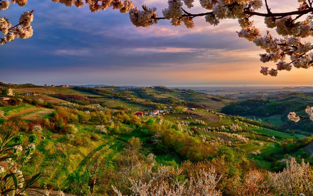
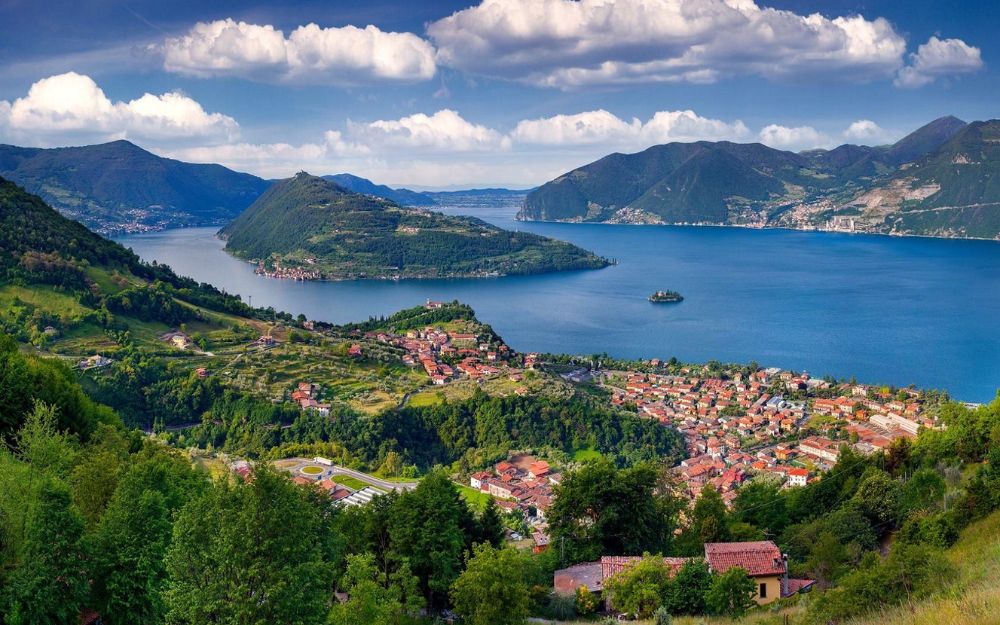
The Brembana Valley is one of the main valleys in the province of Bergamo and the Orobie. It takes its name from the Brembo river, which crosses it.
As you go up from South to North, the landscape varies from the pre-Alpine area of the valley floor to the purely mountain and alpine area of the northernmost part, which marks the border of the province of Bergamo with that of Sondrio. To the west is the Val Imagna and to the east the Val Seriana. In addition to the Brembo, there are numerous watercourses and their side valleys, such as the Enna in Val Taleggio, the Ambria in Val Serina, the Stabina in Valtorta, as well as the Mora, Brembilla and Parina in the valleys of the same name.
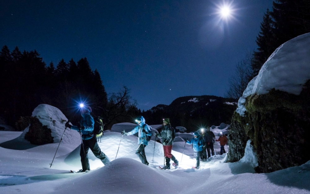
The highest peak is the Pizzo del Diavolo di Tenda, with its 2914 also marks the border with the Seriana Valley, but over 300 peaks exceed 2000 meters. With all this wide choice and variety of environments, it is not surprising that there are over 300 km of trails in Val Brembana. A true paradise for hikers! On hot summer days, as well as on gloomy autumn days or the crisp ones typical of spring, there are itineraries and routes suitable for all legs, which will offer breathtaking views and glimpses as well as giving the pleasure of being in nature.
In this article, we’ve listed 10 day hikes to enjoy in Val Brembana. They are among the most representative that this area has to offer, and although we might have wished to include—or simply forgotten—many other options, they provide a solid starting point for those approaching the mountains or looking to explore this valley on their own two feet.
- Shelters
- The Path of Flowers
- The trenches of the Verrobbio pass
- The lakes of Ponteranica
- Mount Venturosa
- Mount Cancervo
- Mount Aga
- The Pizzo Zerna
- The Star Horn
- The Pizzo dei 3 Signori

1. Shelters
Difficulty: hiking
Numerous refuges are located in the Bremba valleys, and all deserve to be reached to enjoy a welcoming alpine environment and a substantial lunch. They can also be an excellent starting point for multi-day routes or for more challenging climbs. Among the best known are the Calvi brothers refuge, the Gemelli lakes refuge, the Longo brothers refuge, the Benigni refuge, the Grassi refuge. For each of these you will find a dedicated article in our blog, with a map and GPS track that can be downloaded for free.
If you want to learn more about the other refuges in the province of Bergamo, you can read our dedicated article.

2. The Flower Trail
Difficulty: Hiking
It is an anallo path that develops on the slopes of Mount Arera, straddling the Brembana and Seriana valleys. The loop is divided into two sections, the upper and lower, which begin and end at the Capanna 2000 Refuge and the Branchino Pass, respectively. The trail can be approached from three different points: from Zambla Alta to Capanna 2000, from Valcanale to the Branchino Pass, or from Roncobello back to the Branchino Pass. The flower path was named in memory of “Carlo Brissoni”, botanist of the Valley.
We have described the itinerary along the Path of Flowers in a dedicated article, with a map and GPS track that can be downloaded for free.

3. Trenches of the Verrobbio Pass
Difficulty: Hiking
At the Verrobbio pass, in the Upper Brembana Valley near the San Marco pass, the remains of the trenches built before the outbreak of the First World War by the Italian Army are still present and can be visited, in anticipation of a possible breakthrough of the Tonale front and a consequent descent of the Austrians along the Valtellina. Part of the Cadorna Line, fortunately these defensive constructions were never used.
The itinerary to visit the trenches of the Verrobbio Pass has been described in a dedicated article, with a map and GPS track that can be downloaded for free.

4. Ponteranica Lakes
Difficulty: hiking
Starting from the Piani dell’Avaro, in Cusio, it is possible to reach the splendid 3 alpine lakes inserted within a basin formed by Mount Triomen, Mount Valletto and Mount Ponteranica.
We have described the itinerary that leads to reach the 3 lakes of Ponteranica in a dedicated article, with a map and GPS track that can be downloaded for free.

5. Monte Venturosa
Difficulty: hiking
Mount Venturosa is located along the ridge that separates the main branch of the Brembana Valley from the Taleggio Valley. Thanks to its nearly 2000 meters of altitude, it offers a spectacular observation point on Val Taleggio itself and the basin of San Giovanni Bianco.
The classic ascent itinerary to Monte Venturosa starts right from Val Taleggio and we have described it in a dedicated article, with a map and GPS track that can be downloaded for free.

6. Mount Cancervo
Difficulty: experienced hikers
Monte Cancervo is an imposing rocky bastion that rises above the town of San Giovanni Bianco, not far from the opposite Monte Venturosa. In fact, this peak can also be reached starting from Val Taleggio. The presence of a gully equipped with a chain, however, slightly increases the difficulty of the ascent, classifying it as for experts.
We have described the ascent route to Monte Cancervo in a dedicated article, with a map and GPS track that can be downloaded for free.

7. Mount Aga
Difficulty: experienced hikers
Probably one of the most famous and popular peaks in the Brembana Valley, Mount Aga is positioned vertically above the Devil’s Lake, and is a panoramic peak located on the ridge that separates the Brembana Valley from the Valtellina. From its summit, you can enjoy a wide panorama that ranges from the Orobie, the Pre-Alps, the Rhaetian and on clear days even the Western Alps.
The classic ascent route to Monte Aga starts from Carona and we have described it in a dedicated article, with a map and GPS track that can be downloaded for free.

8. Zerna Lace
Difficulty: experienced hikers
Also located along the ridge that separates the Brembana Valley from the Valtellina, Pizzo Zerna can be reached along the splendid and wild Sambuzza Valley, starting from Carona. From its top you can enjoy a magnificent view of the nearby Masoni, Venina and Corno Stella, the Sambuzza Valley and its lakes on one side, the Valtellina, the Rhaetian and the underlying Publino lake on the other.
We have described the ascent to Pizzo Zerna in a dedicated article, with a map and GPS track that can be downloaded for free.

9. Star Horn
Difficulty: experienced hikers
Located slightly east of Pizzo Zerna, Corno Stella is probably one of the most panoramic peaks of the Brembana Valley and the Orobie. Reachable from Foppolo, from its summit you can enjoy a 360° panorama, dominated by glimpses of the Orobie and the Prealps on one side, and the Rhaetian Alps and Bernina on the other.
We have described the ascent route to Corno Stella in a dedicated article, with a map and GPS track that can be downloaded for free.

10. 3 Lords Lace
Difficulty: experienced hikers
This panoramic peak owes its name to its particular position, which represented the ancient border between the Republic of Venice, the Grand Duchy of Milan and the Swiss Grisons, today respectively the provinces of Bergamo, Lecco and Sondrio. The climb, rather tiring and challenging, rewards with a breathtaking view of all the Orobie and Rhaetian Alps.
The classic ascent route to Pizzo dei 3 Signori starts from Ornica and we have described it in a dedicated article, with a map and GPS track that can be downloaded for free.

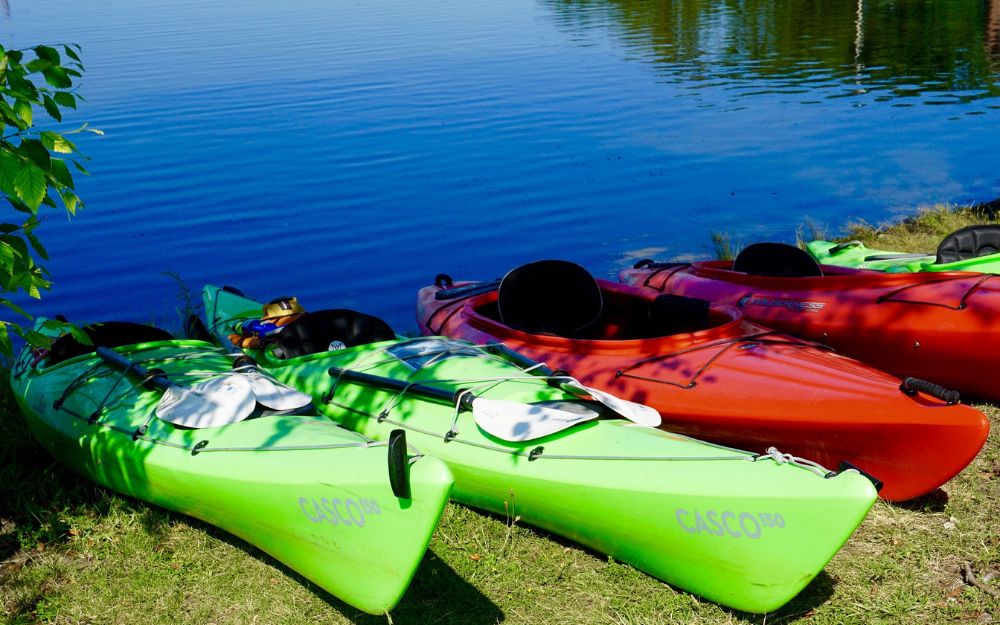
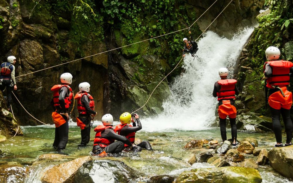
BergamoXP
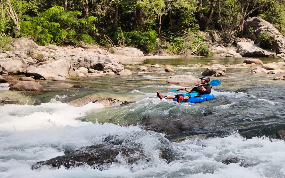
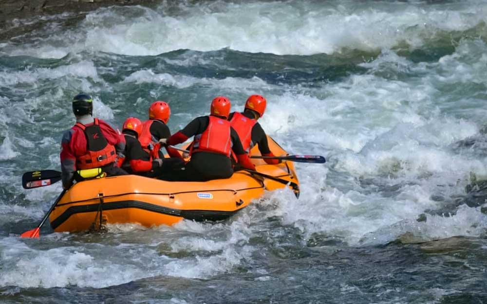
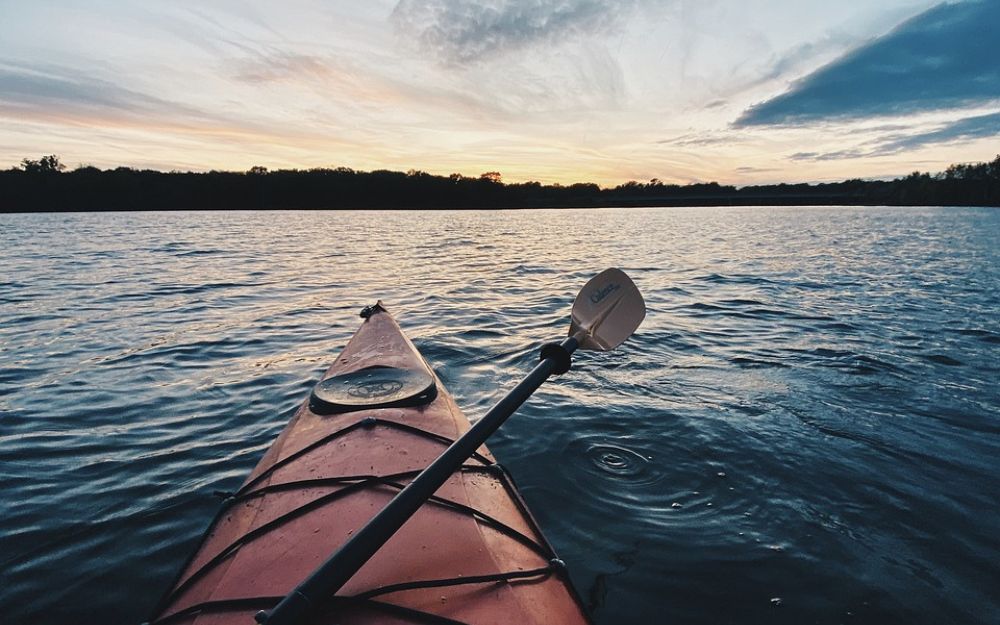
BergamoXP is the first aquatic sports center in the province of Bergamo. We are a team of nature enthusiasts, outdoor and adventure lovers, connoisseurs of our territory and professionals specializing in the disciplines of Kayak, Canyoning, Rafting, Hydrospeed, River Trekking.
Choose BergamoXP, adventure is waiting just around the corner!