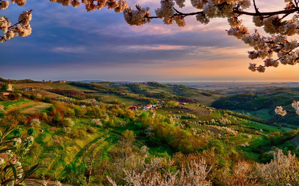
The Village of Ibexes! Discover the Itinerary to Reach the Village of Maslana in the High Val Seriana with Us.
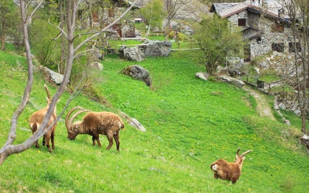
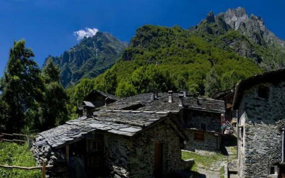
Maslana is a charming alpine village located above the town of Valbondione in the High Val Seriana. It is characterized by stone houses and slate roofs. During spring, it’s easy to spot ibexes in this area, as they wait for the season to improve before returning to higher altitudes. Another reason to visit this beautiful village is the opportunity to admire the Serio Waterfalls from a privileged perspective.
TRIP SUMMARY
DIFFICULTY: easy
TOTAL ELEVATION GAIN: about 250 meters
MAX ALTITUDE: 1150 meters
Type: A/R
DURATION: 0.45h Outbound / 0.30h Return
START: Valbondione, Contrada Grumetti (BG)
ARRIVAL: Borgo di Maslana (BG)
The starting point for this route is the Grumetti hamlet of Valbondione, where you can park your car after buying parking tickets. From here, backtrack to the ENEL conduit, where the CAI 332 trail starts. This trail, with a moderate incline, enters a beautiful broadleaf forest and, through a series of switchbacks, quickly leads to the village of Maslana.
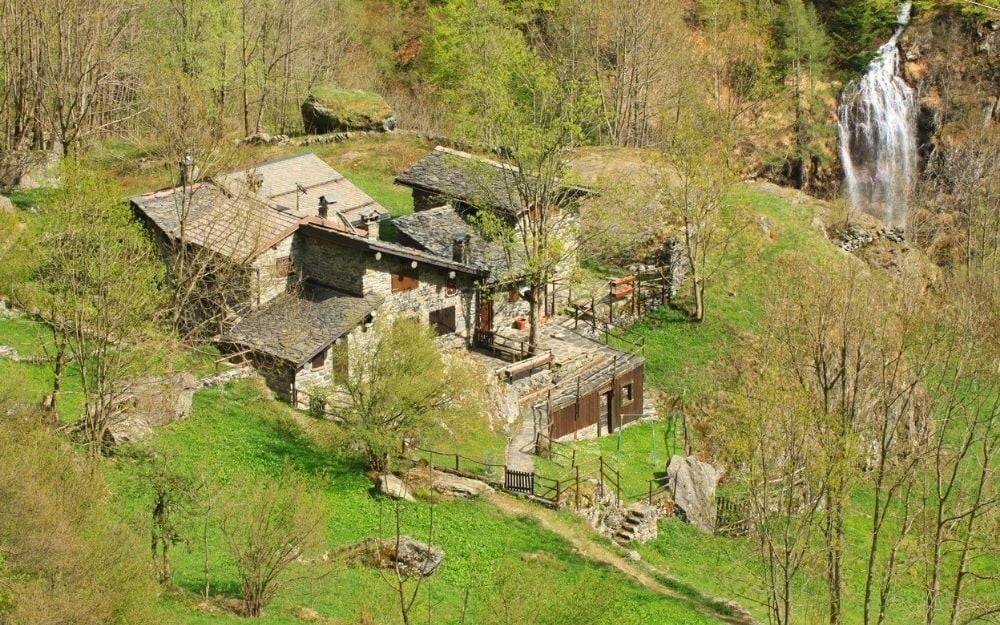
The village is divided into four districts: Polli, the first to be reached, Caffi, where the trail to the Coca Refuge starts, Cà Sura, and Piccinelli, the most remote and the one reached to admire the Serio Waterfalls.
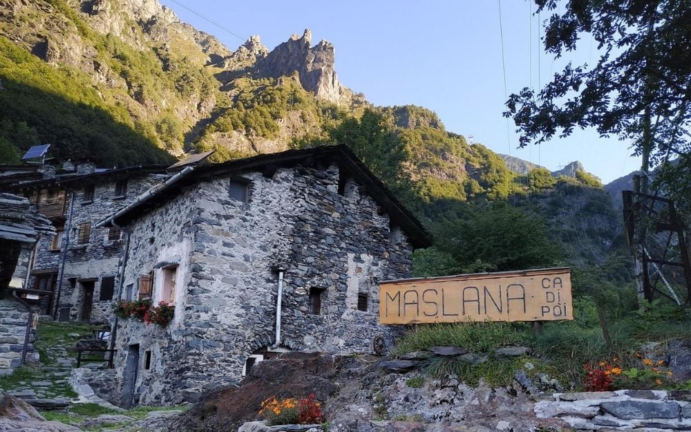
Within the village, there is a refreshment building, the Goi del Cà Refuge. Also, quite characteristic is the house with the sundial painted on its facade. As mentioned, in spring, the village experiences a peaceful invasion of ibexes that spend their winters here at lower altitudes to easily find food and graze on the first sprouts. As the snow melts and the good weather progresses, they move back to higher altitudes. Finally, just beyond the village, by crossing an ancient Roman bridge, you can quickly reach the floral and faunal observatory, where educational activities take place. For the more fit, it’s also possible to continue to the Curò Refuge and Lake Barbellino by following the winter trail.
The return follows the same route taken on the way there.
The itinerary is easy and suitable for everyone.
You can find the interactive map of the route, complete with elevation profile and downloadable GPS track, at this link.
Always organize your trips with care, choose appropriate equipment, and verify the itinerary before embarking on it.
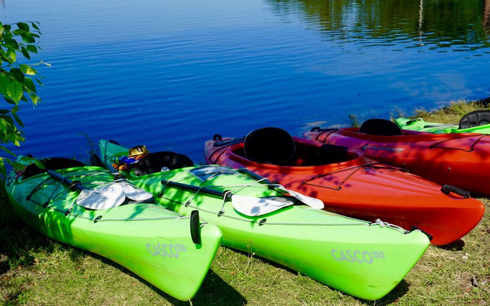
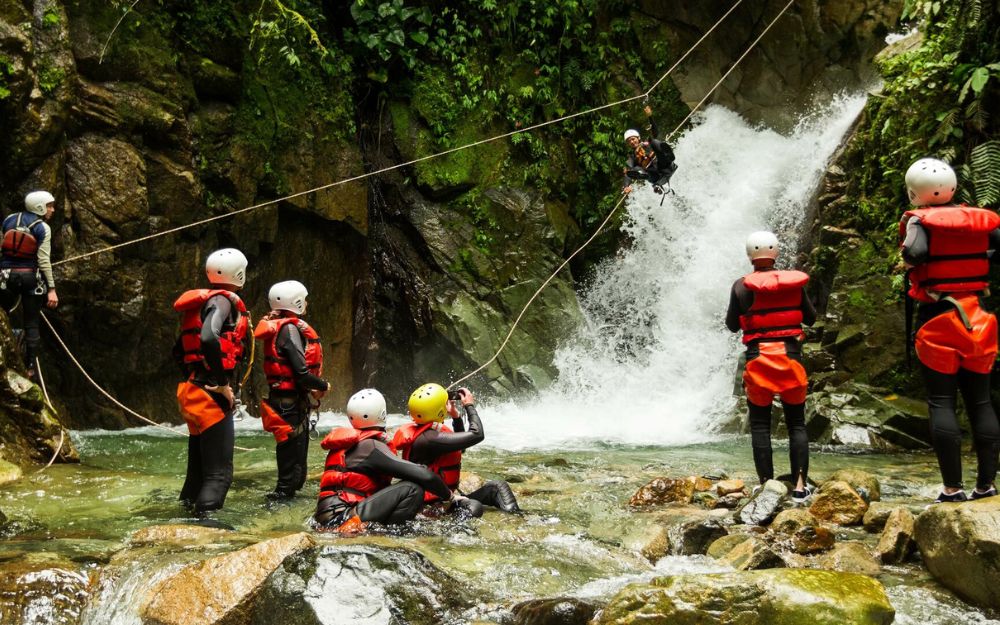
BergamoXP
BergamoXP is the first aquatic sports center in the province of Bergamo. We are professionals specializing in the disciplines ofKayak, Canyoning, Rafting, Hydrospeed, River Trekking. We are a team of nature enthusiasts, outdoor and adventure lovers, and connoisseurs of our territory.