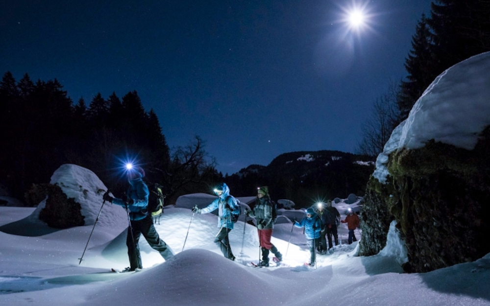
In the Footsteps of History! Discover the Itinerary to Reach the Gleno Dam in Val di Scalve with Us.
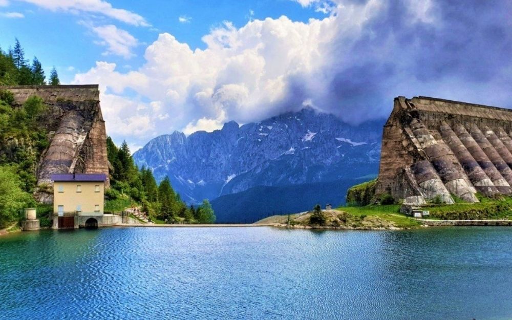
he Gleno Dam was an artificial dam located on the basin of the Gleno stream in Val di Scalve, designed to create a reservoir for water accumulation and generate electricity. However, it collapsed on December 1, 1923, causing significant damage and loss of life in the Bergamo’s Val di Scalve and Brescia’s Val Camonica. Today, the remains of the dam can still be reached and admired through an easy and evocative excursion.
TRIP SUMMARY
DIFFICULTY: easy
TOTAL ELEVATION GAIN: about 400 meters
MAX ALTITUDE: 1535 meters
Type: A/R
DURATION: 1.15h Outbound / 0.45h Return
START: Pianezza, Vilminore di Scalve (BG)
ARRIVAL: Gleno Dam (BG)
The starting point for this route is Pianezza, a location in the high Val di Scalve, a hamlet of Vilminore di Scalve, at the church square where a fountain is also present.
Note that from May to the end of September, the road to Pianezza is closed to traffic, and a paid shuttle service is active. If you prefer not to walk this section, you can use this service. For all details regarding costs and schedules, you can check this page.
From the church in Pianezza, following the indications, take the trail that starts behind it, on the edge of the village, and crosses meadows and pastures. The trail is marked as CAI 411. Shortly, it enters a mule track. Continuing along this path through the forest with a slight incline, we follow the water’s forced conduit. Now the slope becomes steeper, and with steep switchbacks, we ascend the mountainside to an altitude of about 1500 meters, where a concrete structure is present from which the water conduit pipe originates.
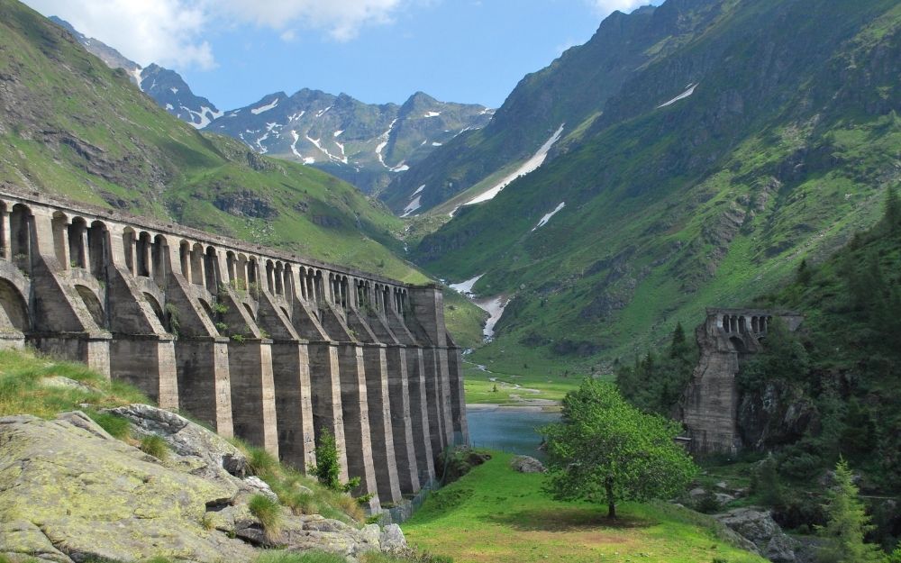
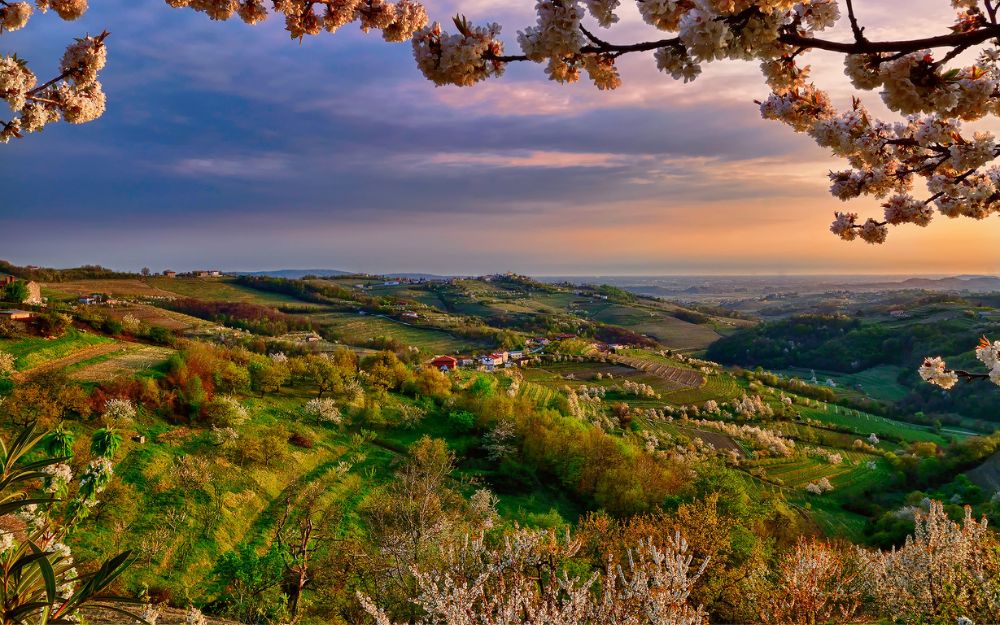
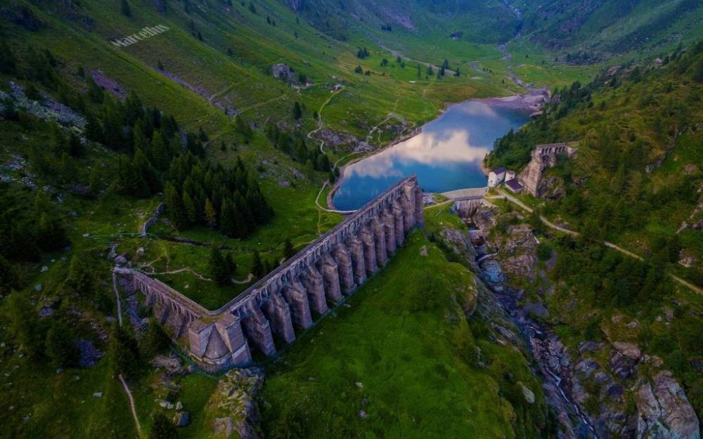
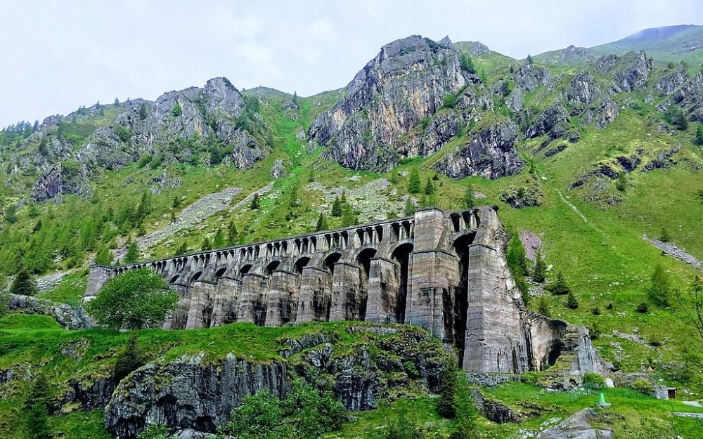
From here, the trail levels out, following the mountain’s edge, and in about 20 minutes, it leads us to the ruins of the dam. ehind it is a small pond, and above it stands Mount Gleno, which with its height of 2882 meters dominates the panorama and is one of the main mountains of the Eastern Orobie.
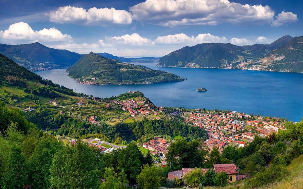
The dam collapsed on December 1, 1923, releasing approximately 6 million cubic meters of water into the valley below. This inundated the villages of Bueggio and Azzone, destroying everything in its path, continuing to reach the town of Dezzo and then reaching Darfo Boario and Angolo Terme. Finally, the water flowed into Lake Iseo. About 400 people lost their lives in this tragedy.
The return follows the same route taken on the way there.
The itinerary is easy and suitable for everyone with a minimum level of fitness.
You can find the interactive map of the route, complete with elevation profile and downloadable GPS track, at this link.
For all our organized trips and events, check this page.
Always organize your trips with care, choose appropriate equipment, and verify the itinerary before embarking on it.
BergamoXP
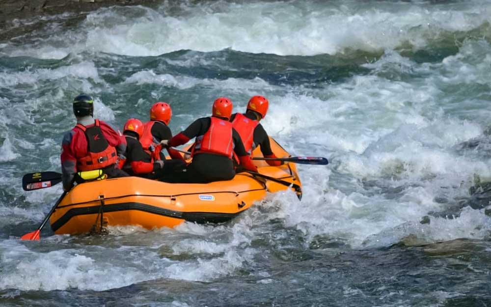
BergamoXP is the first aquatic sports center in the province of Bergamo. We are professionals specializing in the disciplines ofKayak, Canyoning, Rafting, Hydrospeed, River Trekking. We are a team of nature enthusiasts, outdoor and adventure lovers, and connoisseurs of our territory.