
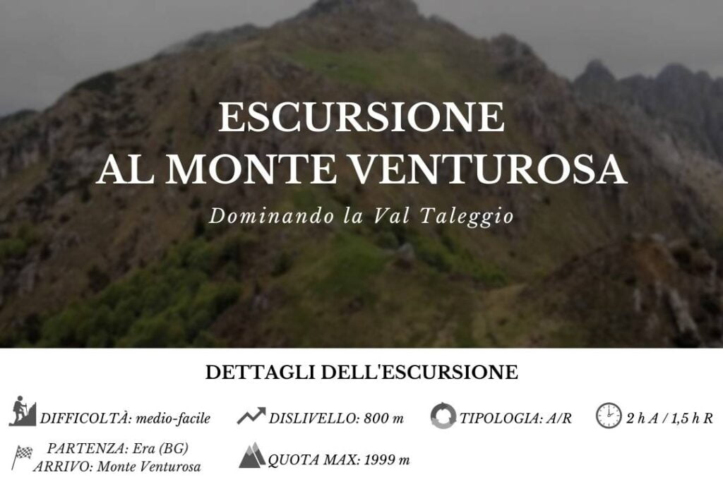
Overlooking Val Taleggio! Discover with us the itinerary for the hike to Monte Venturosa.
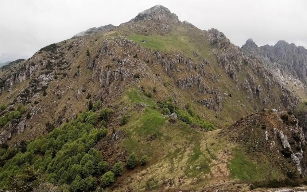
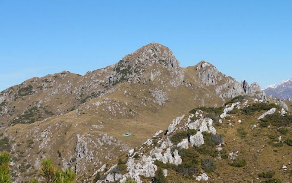
Monte Venturosa is located along the ridge that separates Val Brembana from Val Taleggio. Thanks to its nearly 2000 meters of altitude, it offers a spectacular observation point on Val Taleggio itself and the basin of San Giovanni Bianco.
Nearby is also Monte Cancervo, whose climb is described in this article on our blog.
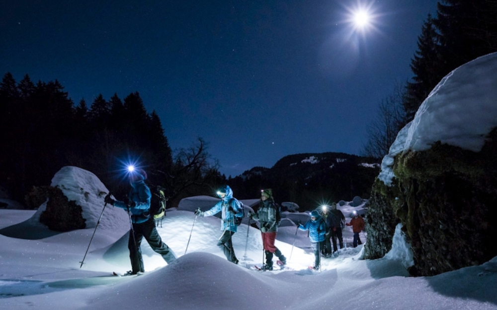
The itinerary is also accessible in winter with snowshoes. We have described this route in the following article on our blog.
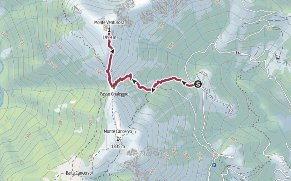
The route described here starts from Val Taleggio. We reach San Giovanni Bianco by car first, and then take the road that climbs up this valley until the junction for the village of Pianca. We continue briefly towards the villages of Era and Cespedosio, without reaching them. We park the car in a small parking lot along the road.
We then walk back briefly, and take the well-marked CAI 136 trail towards Passo di Grialeggio and Monte Venturosa. It is a wide dirt road that climbs through the forest. The route alternates uphill sections with others on a slight incline until the dirt road gives way to a real trail, which climbs with steep slopes through the beech forest.
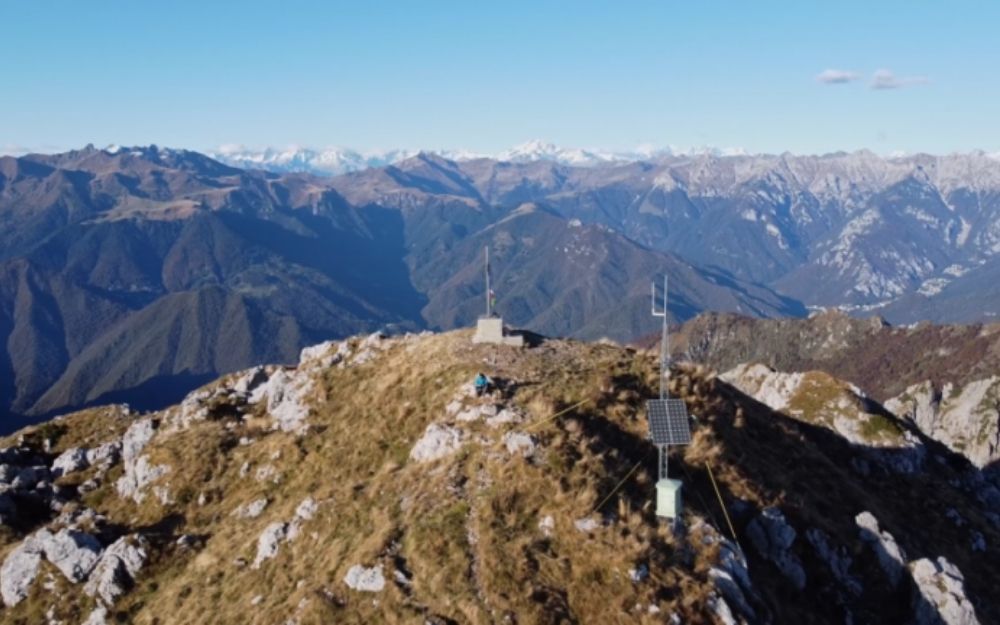
We reach Passo di Grialeggio in just over half an hour, where we come across the junction with the CAI 102 trail, which leads to the summit of Monte Cancervo. We keep to the right, always following the CAI 136, and with significant inclines, we quickly reach the plateau where Baita Venturosa is built. From here, one last effort takes us to the summit of Monte Venturosa, with the peak cross.
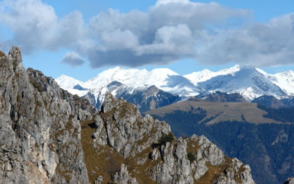
The wide panorama of the Orobie, Val Taleggio, Val Brembana, and the plain, makes all the effort worthwhile!
The return is on the same route as the outward journey.
This hike requires a minimum level of fitness but does not present any technical difficulties.
You can find the interactive map of the route, complete with altitude and downloadable GPS track, at this link.
Always organize your trips with care, choose appropriate equipment, and verify the itinerary before embarking on it.
BergamoXP
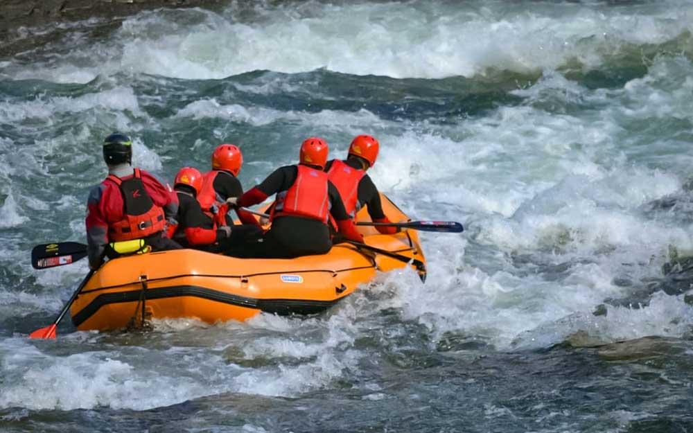
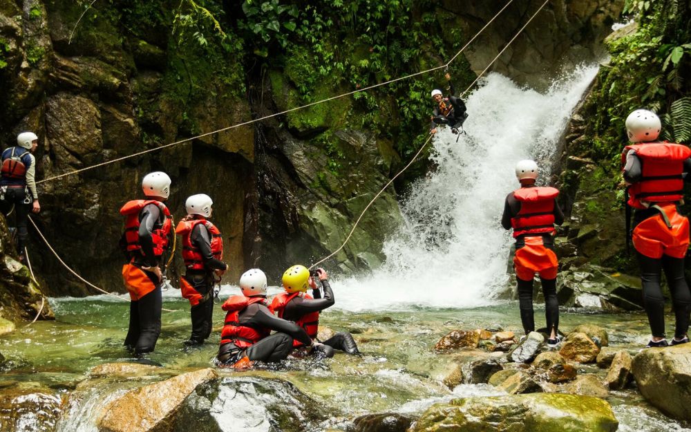
BergamoXP is the first aquatic sports center in the province of Bergamo. We are a team of nature enthusiasts, outdoor and adventure lovers, connoisseurs of our territory and professionals specializing in the disciplines of Kayak, Canyoning, Rafting, Hydrospeed, River Trekking.
Choose BergamoXP, the adventure in our backyard is waiting for you!