Cycling Along Iseo lake! Discover the Itinerary along the Oglio Cycle Path from Darfo to Iseo with us.
The Oglio Cycle Path is an ongoing cycling route that aims to accompany the development of the Oglio river (and Iseo lake) from its source in the Upper Valle Camonica to its confluence with the Po river. In this article, we describe the section that runs along Iseo lake, from Darfo Boario Terme to Iseo.
TRIP SUMMARY
DIFFICULTY: Moderate to Easy
DISTANCE: about 37 km one-way
TOTAL ELEVATION GAIN: about 400 meters
Type: A/R
DURATION: 3.30h Outbound / 3.30h Return
START: Darfo Boario Terme (BS)
ARRIVAL: Iseo (BS)
The starting point for this section is the town of Darfo Boario Terme, an ancient village known for its thermal springs. You can leave your car in one of the numerous free parking areas and easily join the cycle path. For simplicity, in our GPS track, we’ve chosen the parking lot of the Aquaplanet water park, close to the Oglio river and its cycle path.
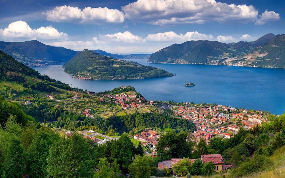
Cycling gently downhill, we move away from the main course of the Oglio and reach the village of Pisogne, where the river flows into Iseo lake. In this gulf, not far away, you can also spot the splendid village of Lovere.
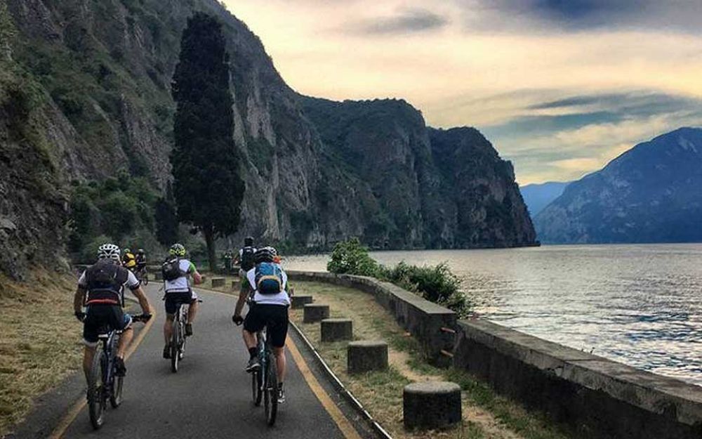
We continue along the shores of Iseo Lake at the foot of the majestic Corna Trentapassi, a mountain with a distinctive trident shape that plunges vertically into the waters of Sebino lake, passing through the towns of Toline and Vello. We’ve described the ascent to Corna Trentapassi via the spectacular ferrata in this article.
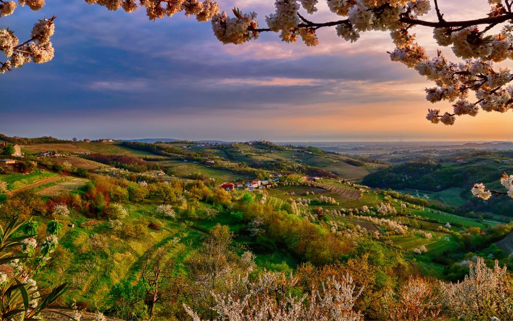
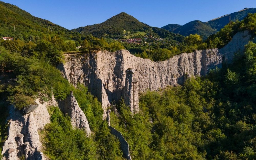
Here, thanks to the microclimate of the lake, the nature is characterized by Mediterranean vegetation and olive trees. And shortly, we arrive in Marone, a town known for its Olive Oil. Nearby, you can also visit the characteristic rock formations of the Pyramids of Zone, which we’ve described here.
Cycling, we pass through the villages of Sale Marasino and Sulzano, where the eastern shore of Monte Isola is also on display, along with the two smaller islets of San Paolo and Loreto.
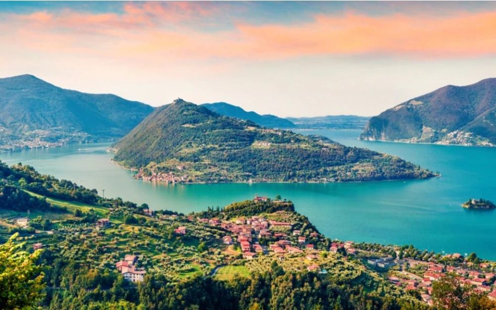
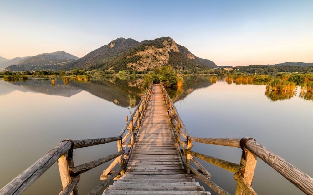
Finally, we reach the capital of Sebino Lake, the town of Iseo, where Sebino Lake merges into Franciacorta. The stage ends on the edge of the Torbiere del Sebino (Sebino lake Wetlands), which we’ve described in this article.
The return follows the same route taken on the way there.
The route is mostly on gravel and asphalt roads, and it is mostly flat, so it doesn’t present significant technical or physical challenges, except for its length, which is nearly 80 km if you want to cover the entire round-trip distance in a day.
You can find the interactive map of the route, complete with elevation profile and downloadable GPS track, at this link.
Always organize your trips with care, choose appropriate equipment, and verify the itinerary before embarking on it.
BergamoXP
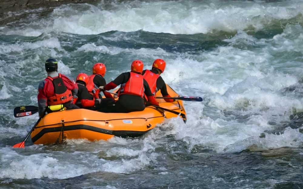
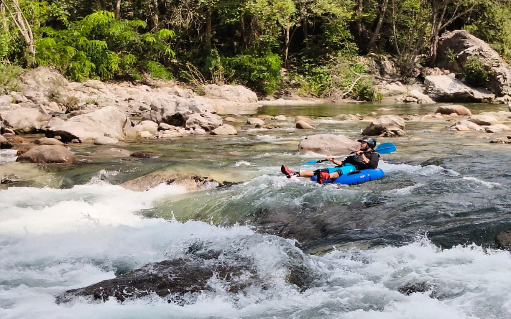
BergamoXP is the first aquatic sports center in the province of Bergamo. We are professionals specializing in the disciplines ofKayak, Canyoning, Rafting, Hydrospeed, River Trekking. We are a team of nature enthusiasts, outdoor and adventure lovers, and connoisseurs of our territory.