Climbing on Iseo lake! Read our description for the itinerary along Via Ferrata on Corna Trentapassi.
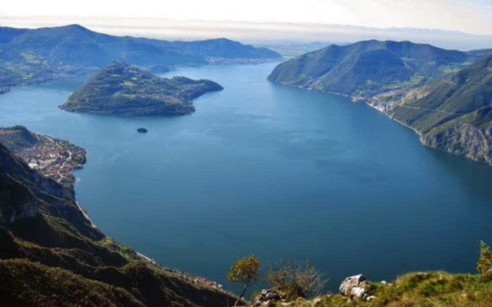
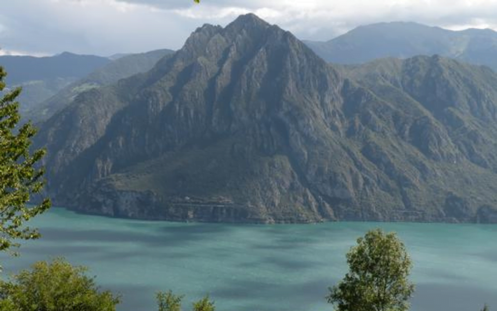
Corna Trentapassi is the most representative mountain of Iseo lake, with its unmistakable trident shape Although it has a low altitude, from its summit you can enjoy a splendid view of Iseo lake and Monte Isola. In this article we describe the ascent through the fun Via Ferrata on Corna Trentapassi.
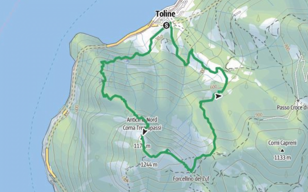
We reach Toline, a village on the eastern shore of Iseo lake, and leave the car near the sports center/soccer field. We go up the road until we take Via Canale, and shortly after we cross a signpost with directions. We take the CAI 212 trail marker, which indicates Corna Trentapassi. The approach to the start of the via ferrata is anything but short and with often steep inclines. We will have to continue along our well-marked trail, first through a dense forest and then on meadows. Once we reach the slopes of the North Ridge, with the appearance of the first boulders, we will find a grassy clearing where we can stop to put on the via ferrata kit and helmet. The via ferrata starts from there. This never has excessively technical passages, there are plenty of holds for climbing with hands and feet, but it does have exposed sections that require step and sure hand. In short, the via ferrata will take us to the North summit. From here, following the markers and the signs present, we will continue along the trail, until we reach the proper summit, with a summit book and cross. The view from the summit is spectacular, with wide views of Iseo lake and Monte Isola.
For the return, we continue along the CAI 205 trail marker for the East summit, and from there on a steep trail to the Trentapassi saddle. At the fork, we take the CAI 206 trail marker that indicates Toline, and that always with steep inclines, will take us back to the village and to the car.
Although never particularly difficult or technical, this via ferrata still has some more challenging passages and exposed sections. It is mandatory to have a helmet and via ferrata kit to complete the hike.
In the vicinity, less challenging, it is possible to hike the trail along the Natural Reserve of the Zone Pyramids. We have discussed it in this article of our blog.
You can find the interactive map of the route, complete with altitude and downloadable GPS trace, at this link.
Always carefully plan your trips, choosing the appropriate material and equipment and verifying the itinerary before embarking on it.
BergamoXP
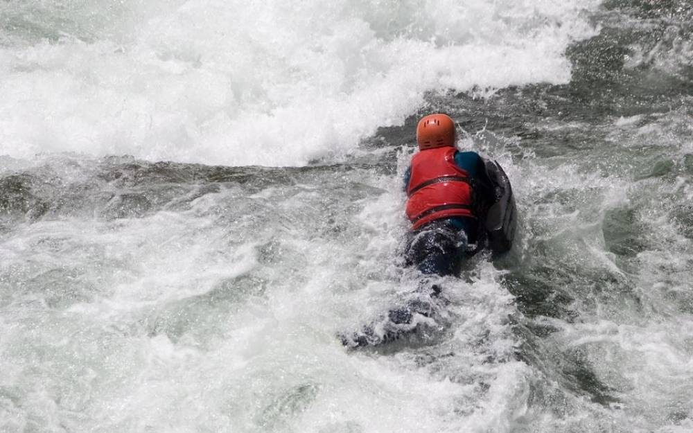
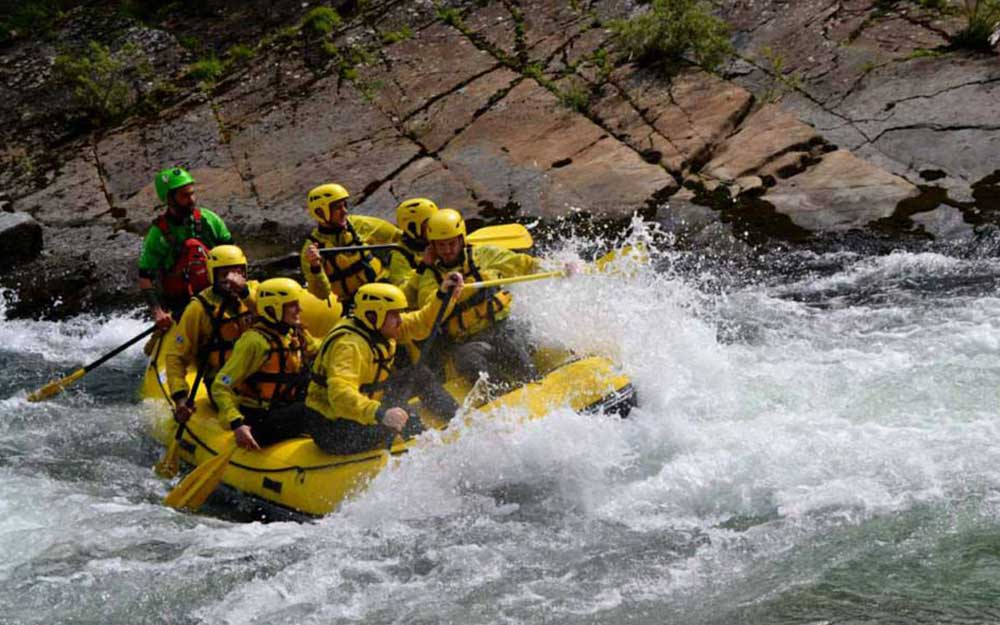
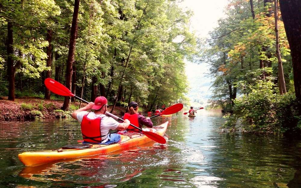
BergamoXP is the first aquatic sports center in the province of Bergamo. We are a team of nature enthusiasts, outdoor and adventure lovers, connoisseurs of our territory and professionals specializing in the disciplines of Kayak, Canyoning, Rafting, Hydrospeed, River Trekking.
Choose BergamoXP, the adventure in our backyard is waiting for you!

