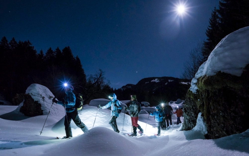
The Symbolic Mountain of Lecco! Discover the itinerary to Rifugio Azzoni on Resegone from Brumano with us.
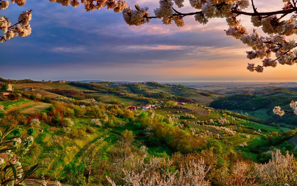
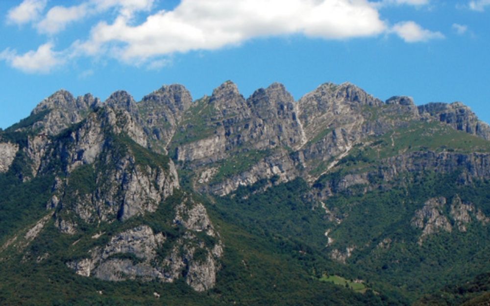
Resegone is the symbolic mountain of Lecco. From the Lombard dialect, the name of this peak means “big saw,” due to the unmistakable profile formed by 13 peaks, resembling the teeth of a saw. The highest of these is Punta Cermenati, and at its slopes stands the famous Rifugio Azzoni. In this itinerary, we’ll explore the ascent that starts from Brumano in Val Imagna, the only route with departure from the province of Bergamo.
TRIP SUMMARY
DIFFICULTY: moderate
MAX ALTITUDE: about 1875 meters
ELEVATION GAIN: about 930 meters
Type: A/R
DURATION: 2.45h Outbound / 1.30h Return
START: Brumano (BG)
We reach the small village of Brumano in the upper Val Imagna by car. We can leave the car in the large parking area adjacent to the cemetery and then start walking, following the signs along the CAI 13 trail.
The trail ascends with steep slopes through the pastures and meadows that surround the last slopes of the village, crossing the asphalt road at several points as it ascends to the end of Brumano. After leaving the pastures, we walk through a beech forest, and in a little over 40 minutes, we reach Rifugio Resegone, where the forest opens up and offers a view of Val Imagna.
The trail, after Rifugio Resegone, continues with gentler slopes and reenters the forest. Shortly after, we encounter a fork, where we follow the signs for Rifugio Azzoni. From here, the slope becomes steeper again.
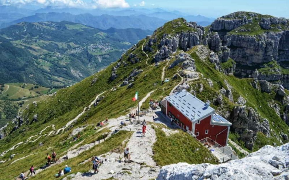
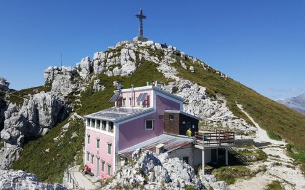
The forest gives way to pastures, and we can finally see the summit peak in the distance. The trail continues with a strong incline and steep switchbacks, through rocky slopes and, always well marked, finally arrives at Rifugio Azzoni. A final push and a staircase lead to the summit of Cima Cermenati.
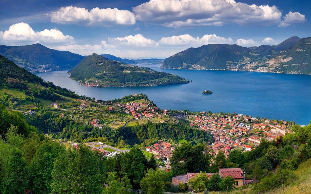
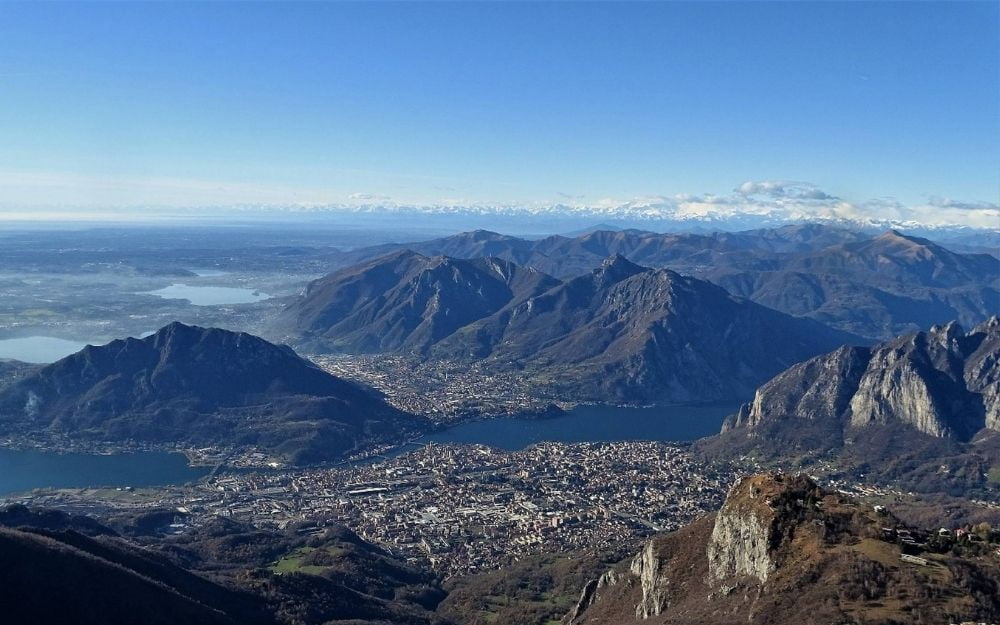
The panorama that unfolds is stunning, with views of Como Lake, the city of Lecco, and the Grigne mountains.
The return takes place on the same itinerary as the outbound journey.
The itinerary has a considerable elevation gain and requires some level of fitness, but it does not involve technical passages.
You can find the interactive map of the route, complete with elevation profile and downloadable GPS track, at this link.
Always organize your trips with care, choose appropriate equipment, and verify the itinerary before embarking on it.
BergamoXP
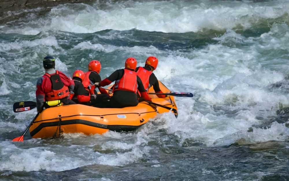
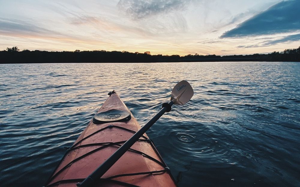
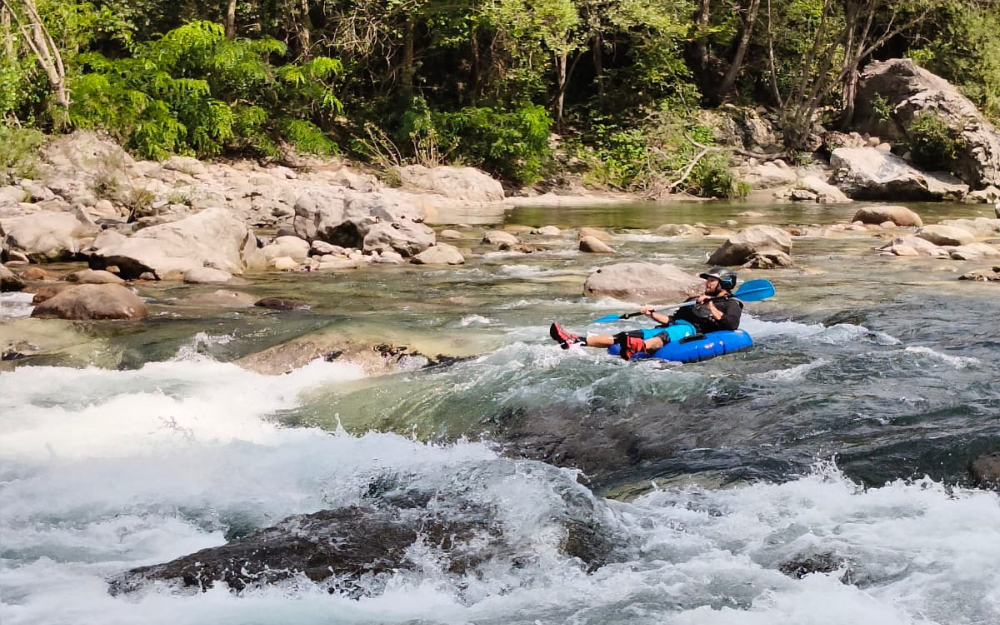
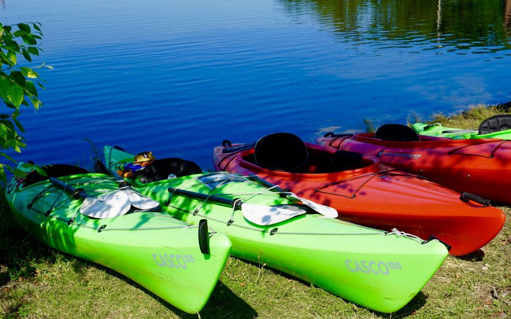
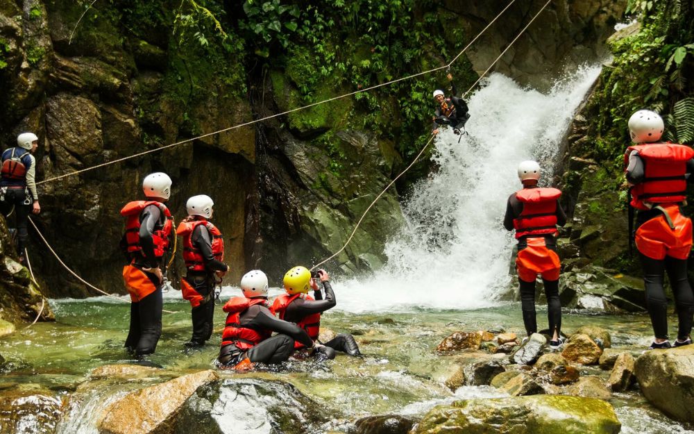
BergamoXP is the first aquatic sports center in the province of Bergamo. We are a team of nature enthusiasts, outdoor and adventure lovers, connoisseurs of our territory and professionals specializing in the disciplines of Kayak, Canyoning, Rafting, Hydrospeed, River Trekking.
Choose BergamoXP, the adventure in our backyard is waiting for you!