On the Snow in Valmalenco! Discover the itinerary with us for snowshoeing to Rifugio Cristina.
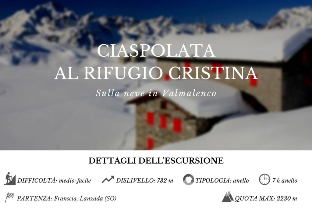
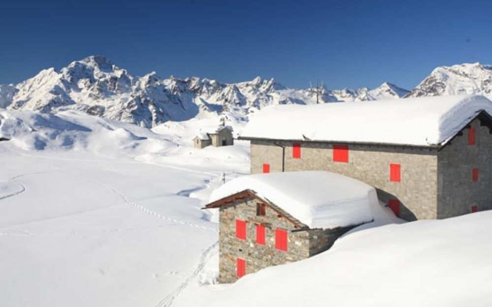
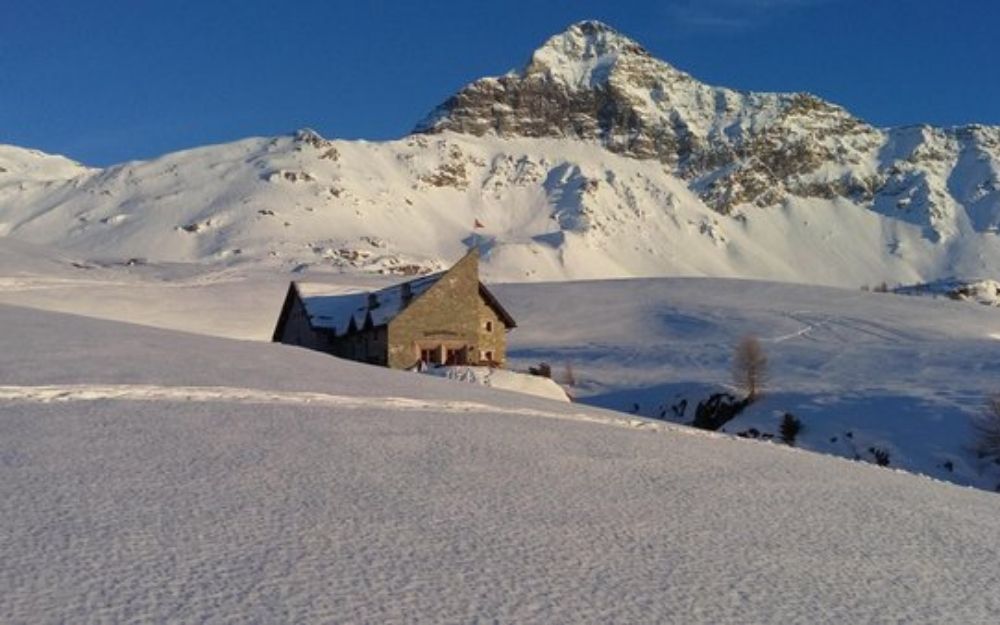
Rifugio Cristina is a historic refuge that has been providing rest for hikers and climbers in summer and snowshoers and ski mountaineers in winter for over a century. It’s located in Valmalenco, a side valley of Valtellina, at the foot of the imposing Pizzo Scalino, which dominates the landscape with its 3323 meters. Snowshoeing to Rifugio Cristina is an easy and enjoyable way to explore the beauty of this valley.
We drive up the Valmalenco to Lanzada. From there, we continue until we reach the hamlet of Franscia. Depending on the snow conditions, the road that leads up to Campo Moro might be prohibited or impassable. For safety, it’s advisable to park the car just after this area and continue on foot.
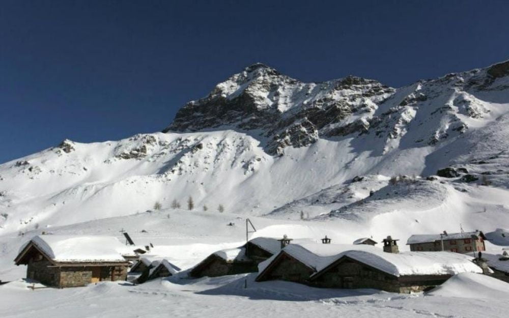
Once we’ve put on our snowshoes, we hike up the road until we come across the signs indicating our refuge and Alpe Campagneda. Soon, through a pleasant forest trail, we reach Alpe Campascio, a characteristic village with wooden houses. At the crossroads, we take the CAI 347/1 trail towards Rifugio Cà Runcasch, which we reach shortly.
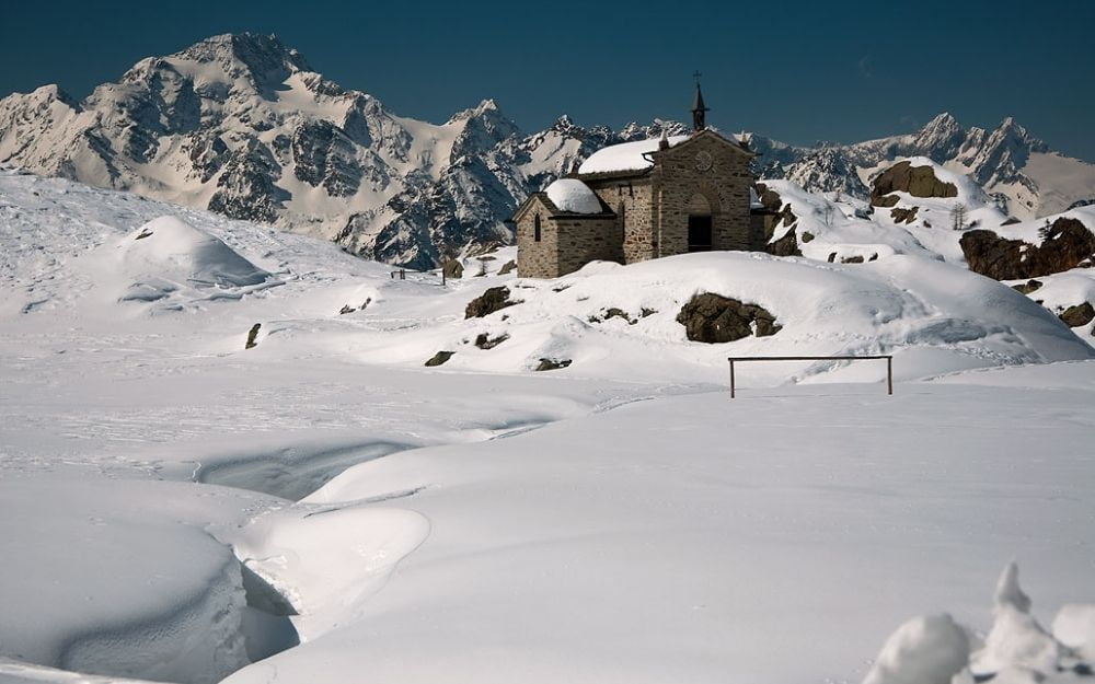
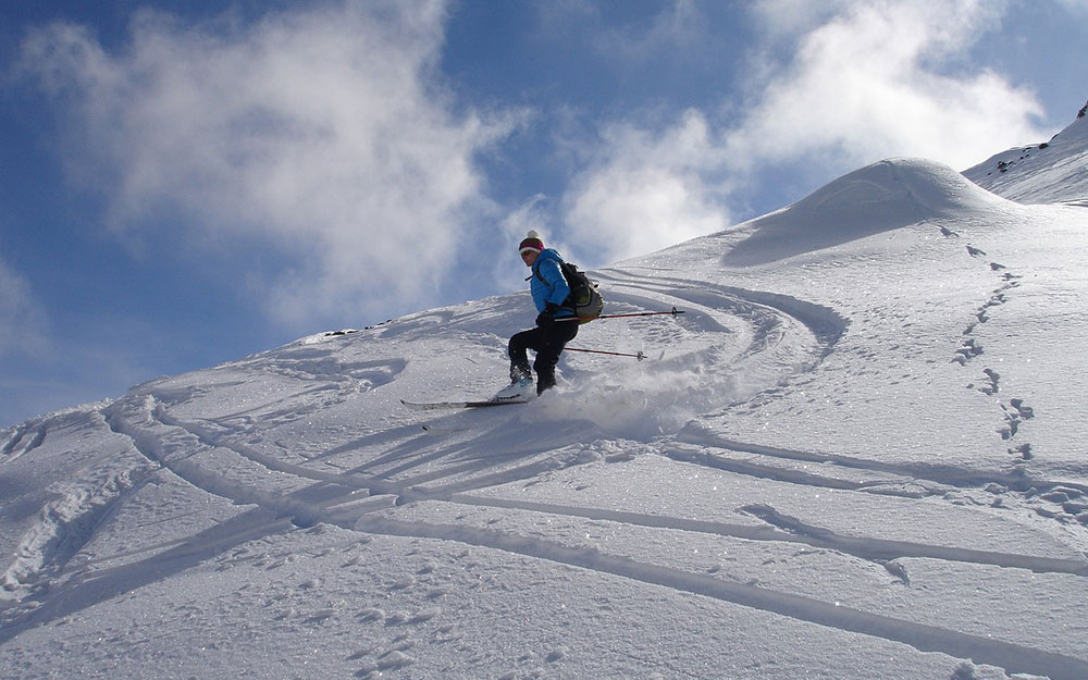
From here, we continue on a gentle slope following the signs for Alpe Prabello and Rifugio Cristina, which we reach shortly. The basin where the refuge is located boasts an exceptional landscape. Mountaineers and ski mountaineers can continue by ascending to the summit of Pizzo Scalino, the lord of the valley.
After a stop at the refuge, we can either continue along trail 347, which forms a loop that will take us back to Alpe Campascio and then, on the road we took earlier, back to the car park Alternatively, if we still have energy, we can choose trail CAI 305, which guides us on a broad loop beneath the slopes of Pizzo Scalino before returning to Rifugio Cà Runcasch and then back to the starting point.
Depending on where we park, the excursion involves a decent elevation gain and requires a minimum level of fitness. The snow conditions in this valley are generally considered safe from avalanches. However, if you decide to take the CAI 305 trail variant, it’s a good idea to check the avalanche bulletin for any potential releases from Pizzo Scalino.
You can find the interactive map of the route, complete with elevation profile and downloadable GPS track, at this link.
Always organize your trips with care, choose appropriate equipment, and verify the itinerary before embarking on it.
For all our organized trips and events, check this page.
