Natural Monument! Discover the itinerary to the ancient beech tree of Val Piancone with us.
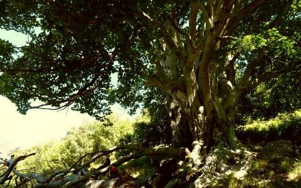
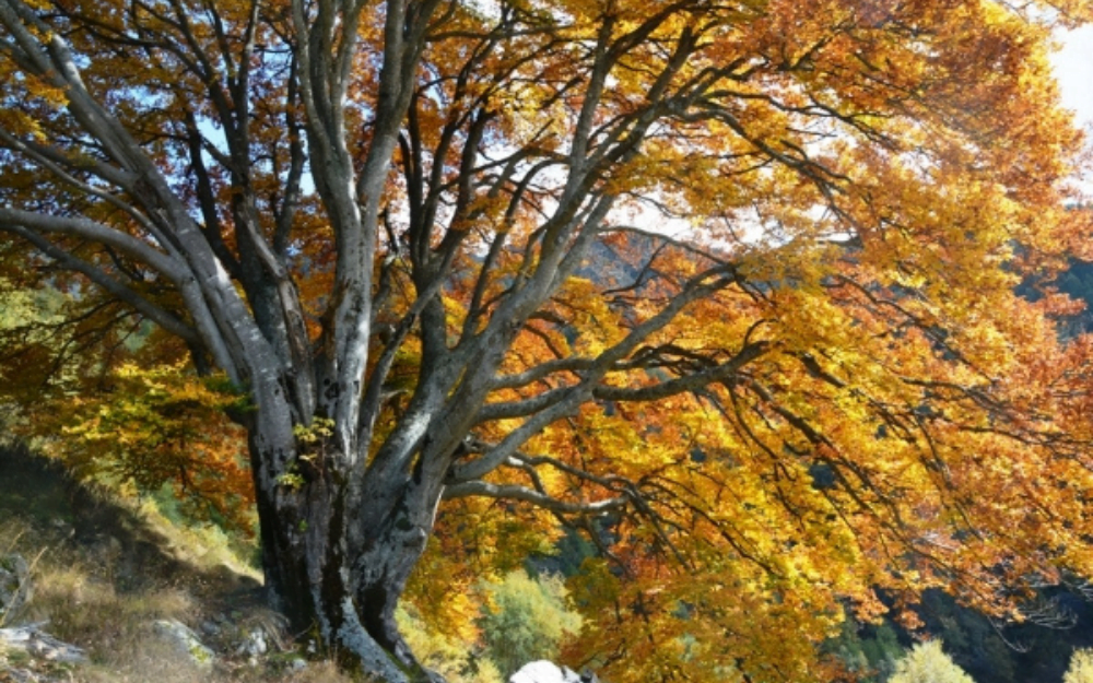
In Val Sassina, along the slopes of Pizzo D’Alben in the municipality of Casargo, an imposing ancient beech tree grows, estimated to be over 300 years old, known as the Piancone With a trunk circumference of about 10 meters and a height of almost 30 meters, this giant guardian of the forest is considered to be the oldest in Italy.
TRIP SUMMARY
DIFFICULTY: moderate
MAX ALTITUDE: about 1520 meters
ELEVATION GAIN: about 800 meters
Type: A/R
DURATION: 2.45h Outbound / 1.30h Return
START: Casargo (LC)
We reach Casargo in Val Sassina by car, where we park. We walk to the locality of Piazzo. Alternatively, if we’re lucky, we look for parking directly in the few roadside spots in Piazzo. From here, we walk up a short stretch of the provincial road until we take the first right turn towards the locality of Faedo. Here, we will also find a sign from the forestry department indicating the trail.
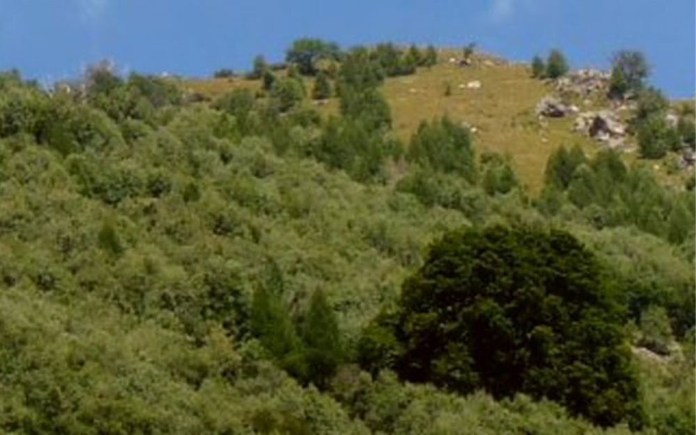
We continue along the dirt road that gently ascends Val Marcia in the direction of Ronco. After a short downhill section, we cross the Varrone stream on a small bridge. From here, the last section of the trail begins, still in the woods but with significant slopes and a less easy path.
Arriving at a clearing, the ancient beech tree opens up to us in all its majesty. To fully embrace its trunk, four people holding hands are needed. Its canopy covers a diameter of about 30 meters, providing shade and shelter all around. Let’s respect this guardian of the forest and avoid damaging or harming it, even accidentally.
For the return, you follow the same path taken on the way there.
The itinerary has a considerable elevation gain, is not always well-marked, and in the last section, the trail is less easy.
You can find the interactive map of the route, complete with elevation profile and downloadable GPS track, at this link.
Always organize your trips with care, choose appropriate equipment, and verify the itinerary before embarking on it.
BergamoXP
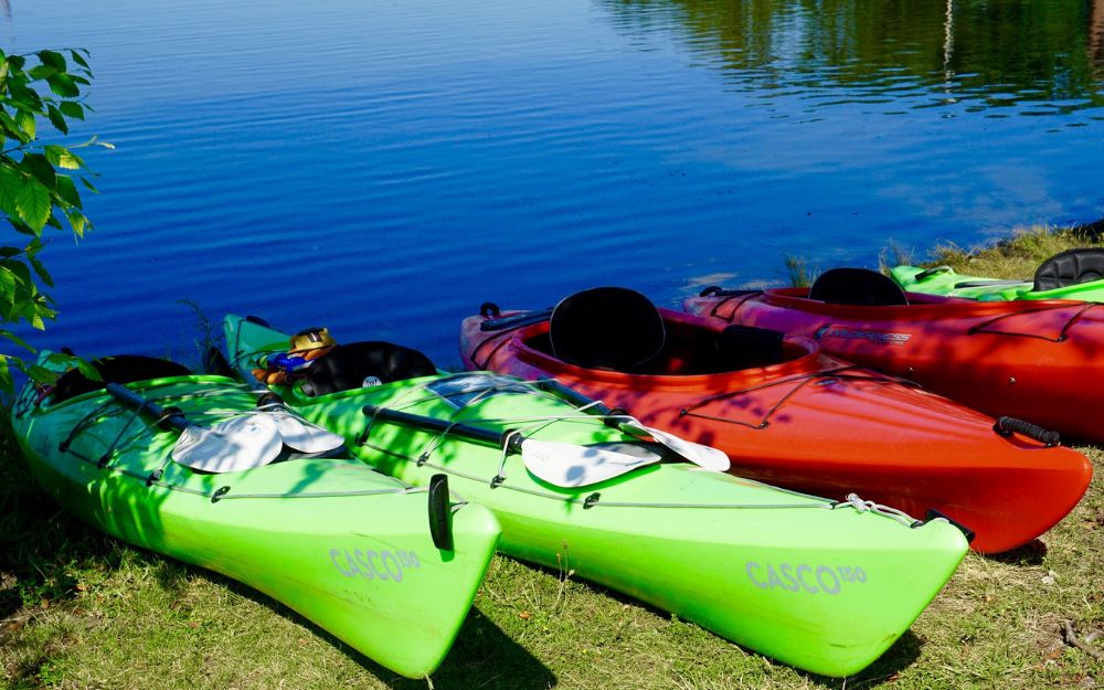
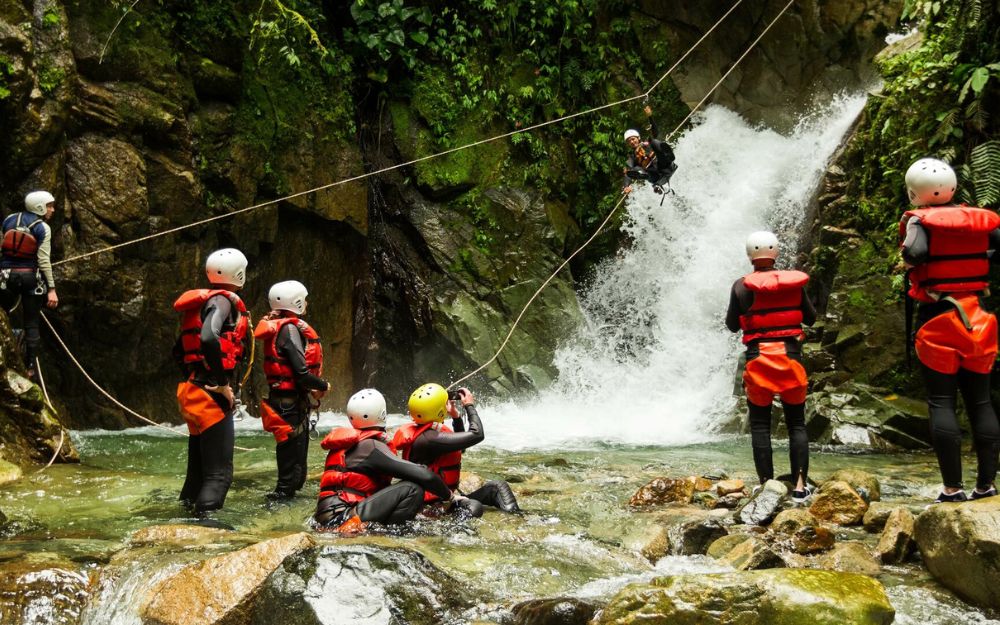
BergamoXP is the first aquatic sports center in the province of Bergamo. We are a team of nature enthusiasts, outdoor and adventure lovers, connoisseurs of our territory and professionals specializing in the disciplines of Kayak, Canyoning, Rafting, Hydrospeed, River Trekking.
Choose BergamoXP, the adventure in our backyard is waiting for you!