
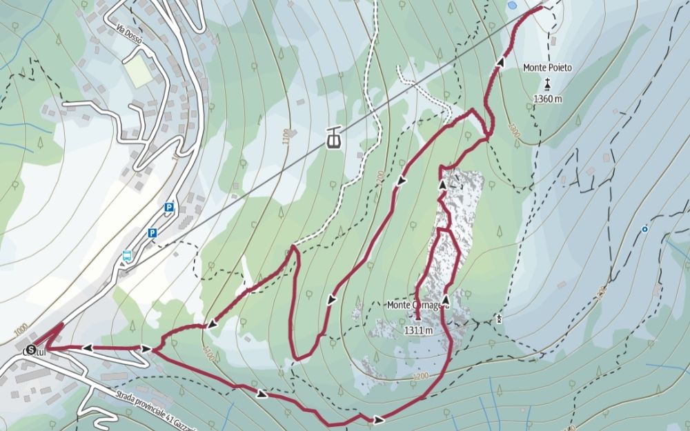
Ring Hike in Selvino! Read with us the description of the itinerary for the hike to Monte Poieto via Monte Cornagera and the Buco della Carolina.
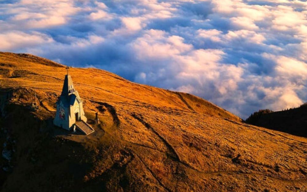
The Monte Poieto and Monte Cornagera are the most well-known heights of the Selvino plateau. The first is a broad and panoramic peak, with a refuge on its summit. The latter is a cliffy limestone known for its numerous towers and channels, where alpinism and rock climbing in Bergamo finds one of its main homes. In this article, we describe a loop itinerary that will take us to both peaks, passing through the charming Buco delle Carolina, a narrow crack in the rock.

We reach the parking lot in Aviatico in the Cantul locality, where we leave the car. From here, following the CAI 537 sign with indications “Cornagera”, we delve into the forest. Soon we reach a fork where we take the right deviation, continuing to follow to Monte Cornagera. The forest finally gives way to the famous towers of this mountain and a lunar environment. This very charming stretch is known as “the labyrinth.”
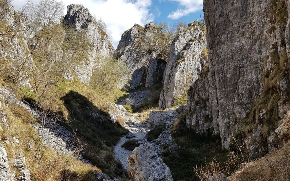
Arrived at a fork, we leave the 537 sign and take the path on the left 521 that takes us to face the final ridge stretch; with simple and short climbing passages, we reach the summit of Monte Cornagera in a short time. After admiring the view, we return on our steps to the fork, where this time we continue following the indications for the “Buco della Carolina”, a narrow crack in the rock that is a few tens of meters long. After crossing it, we continue through the forest on an easy trail, until we reach the summit of Monte Poieto, with the equipped restaurant refuge.
For the descent, we take the path that runs parallel to the Bidonvia, which will soon bring us back to the parking lot in the Cantul locality and then to the car.
The itinerary described requires a minimum of training and presents a short stretch of easy climbing with hands to reach the summit of Mount Cornagera.
You can find the interactive map of the route, complete with altitude and downloadable GPS track, at this link.
Always organize your trips with care, choose appropriate equipment, and verify the itinerary before embarking on it.
BergamoXP
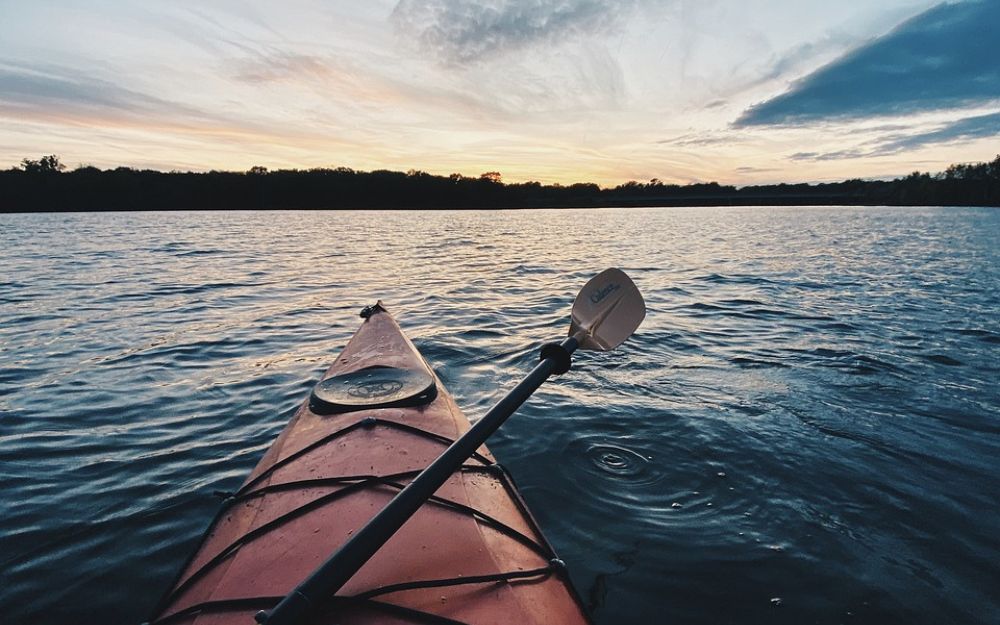
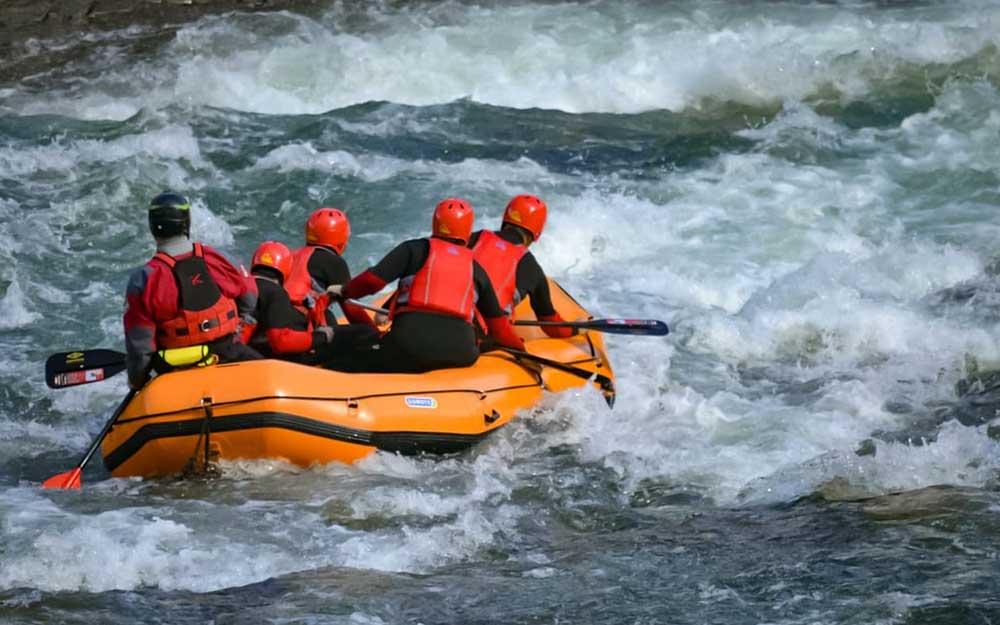
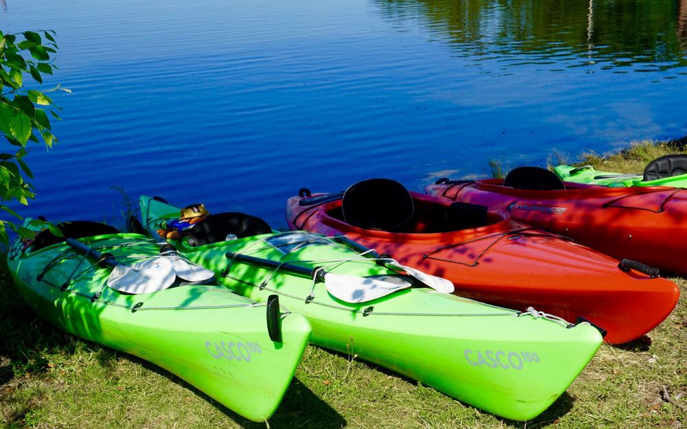
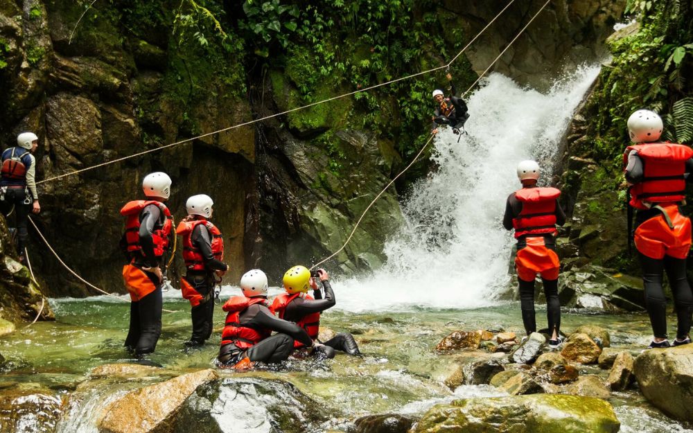
BergamoXP is the first aquatic sports center in the province of Bergamo. We are a team of nature enthusiasts, outdoor and adventure lovers, connoisseurs of our territory and professionals specializing in the disciplines of Kayak, Canyoning, Rafting, Hydrospeed, River Trekking.
Choose BergamoXP, the adventure in our backyard is waiting for you!