At the feet of the King of the Orobie! Discover with us the itinerary for the excursion to the Merelli al Coca Refuge, in the upper Seriana Valley
The Merelli al Coca Refuge is located at an altitude of 1892 meters, above the town of Valbondione, in the upper Seriana Valley, and on the southern slopes of Pizzo Coca, from which it takes part of its name. The latter, with its 3051 meters high, is the highest peak of the Orobie. The other half of the name of the refuge derives from the well-known mountaineer Mario Merelli, who passed away in 2012, who was “at home” here. In this article we are going to describe the itinerary that leads to the refuge starting from Valbondione.

TRIP SUMMARY
DIFFICULTY: moderate
TOTAL DIFFERENCE IN HEIGHT: about 1000 meters
MAX ALTITUDE: 1892 mt
Type: A/R
DURATION: 3.0h one way
DEPARTURE: Valbondione (BG)
ARRIVAL: Merelli al Coca Refuge (BG)
CAI TRAIL SIGN: 301
The departure is from Valbondione, where we can leave the car in the large parking lot of the Palazzetto dello Sport. Remember, in order not to incur fines, to buy the scratch card from the authorized merchants in the town.
From here we follow the obvious signs, going up the village and leaving it on our right. After crossing the Serio river, we walk along the path surrounded by huge and fascinating erratic boulders, with a gentle slope. The path then deviates to the left, climbing steeply through the woods. The slope is constant, with no stretches to catch your breath. We ignore the junction with the signs for Maslana and continue our climb.

When the first bollards and related chains appear, the slope finally decreases. We leave the woods, crossing a stream over an artificial bridge and then start to walk the last stretch of the route. The climb becomes hard again and in summer we will be exposed to direct sun and heat.
Once in sight of the refuge, there is a small dam and shortly after the signs for the Curò refuge, which we ignore as we continue straight. The most is now done, some short alternating stretches of ascent and flat take us to our destination in a short time.

The refuge is a must for those who decide to climb Pizzo Coca, dividing the ascent over 2 days. From its panoramic balcony you can enjoy splendid views of the valley floor and the Orobie Alps, which here include some of its highest peaks, over three thousand meters high: Pizzo Redorta, Pizzo Scais and Pizzo Coca, of course. It is also possible to reach the Brunone refuge and the Curò refuge, along a stretch of the Eastern Orobie Path, the most rugged and wild.
The refuge boasts 70 beds and excellent traditional cuisine.
The return takes place along the same route as the outward journey.

The itinerary is technically easy but requires a fair amount of training. You can find the interactive map of the route, complete with elevation profile and downloadable GPS track, at this link.
Always carefully plan your trips, choosing the appropriate material and equipment and verifying the itinerary before embarking on it.
BergamoXP
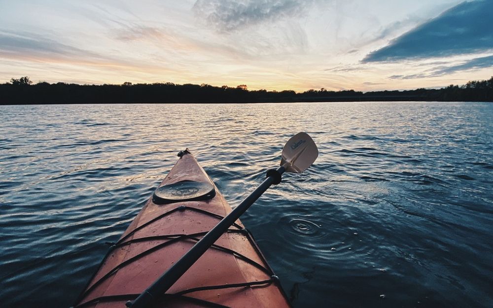
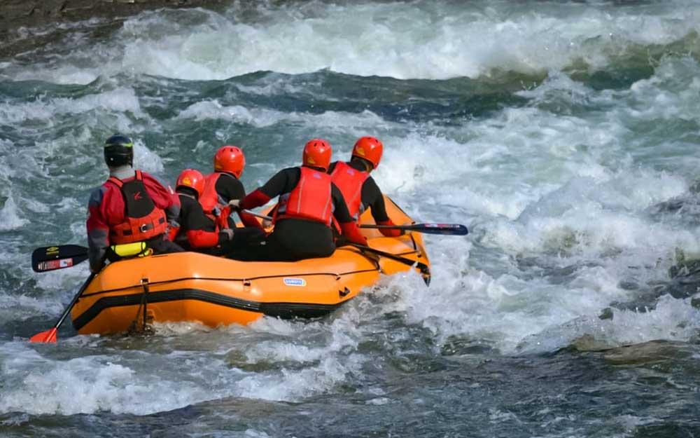
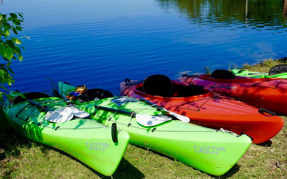
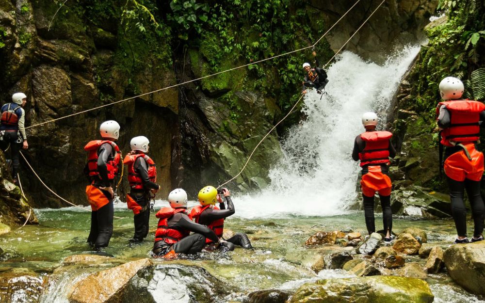
BergamoXP is the first aquatic sports center in the province of Bergamo. We are professionals specializing in the disciplines ofKayak, Canyoning, Rafting, Hydrospeed, River Trekking. We are a team of nature, outdoor and adventure enthusiasts, lovers and connoisseurs of our area.
Choose BergamoXP, the adventure in our backyard is waiting for you!
.