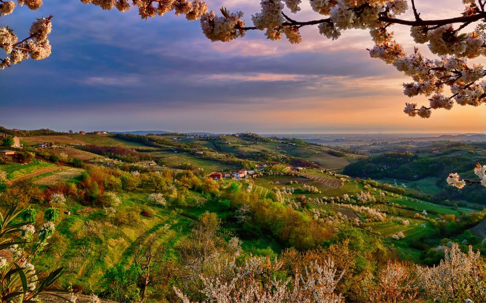
The Yosemite of the Alps! Discover with us the itinerary to visit the Val di Mello.
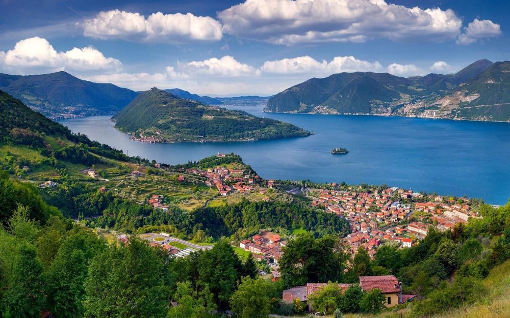
Val di Mello is a charming valley located in Val Masino, in the province of Sondrio. Designated as a natural reserve by the Lombardy Region in 2009, it attracts thousands of tourists every year who come to admire the splendid granite rock towers that contrast with the vibrant and intense green of the valley floor. The valley is traversed by the Mello River, which forms beautiful crystal-clear pools of water. It stretches from east to west, starting from the village of San Martino Valmasino and ending in front of the imposing mass of Mount Disgrazia, which dominates the horizon at 3,678 meters.
There are several refuges along the valley where you can have lunch and stay overnight. The valley is suitable for both Sunday hikers seeking unspoiled nature and climbing and bouldering enthusiasts. Additionally, it serves as an access route to the famous Sentiero Roma, a multi-day high-altitude trek in the heart of the Rhaetian Alps.

TRIP SUMMARY
DIFFICULTY: easy
TOTAL ELEVATION GAIN: Approximately 650 meters
MAXIMUM ALTITUDE: Approximately 1,560 meters
Type: A/R
DURATION: 2.5 hours (one way) / 2.0 hours (return)
START: San Martino Val Masino (SO)
ARRIVAL: Alpe Pioda (SO)
The departure point is San Martino Val Masino, where the road open to the public ends and parking is available (for a fee). From here, a shuttle service (one-way only, 2 Euros per person) departs, allowing you to avoid the initial 200 meters of elevation gain and ascend on an asphalt road to the Panscèr area. Note that the shuttle service is not always operational, so it’s advisable to check the local tourism website beforehand. Alternatively, you can walk this section, following the signs and the obvious path.

Arriving at Panscèr, we proceed along the trail (right orographic bank) with a gentle slope that runs alongside the Mello River. This path offers the first splendid pools of water, where it’s pleasant to cool off in the summer. Among them, the most famous is the one known as the “Bidè della Contessa” (Countess’s Bidet). Soon, you’ll reach the Cascina Piana area, where the largest cluster of houses in the valley is located, along with the first refuges. After passing through the Rasica area and its refuge, the trail continues through the forest, following the river, until you reach an impressive waterfall.
From here, the last stretch begins, which is more strenuous and demanding. It involves a series of switchbacks through a coniferous forest, leading to the Casera di Pioda area in about 30 minutes. This wide green basin is nestled among granite slabs and towers and is where the namesake refuge is located.

For the return journey, once you’re back at the Rasica area, you can take the wooden bridge that crosses the river and switch to the left hydrographic side of the valley. From here, sticking to this trail, you can return to Panscèr, where you can cross the river again and follow the same asphalt road you took on the way there. Alternatively, you can return directly to San Martino.

The itinerary is easy and suitable for all levels. You can find the interactive map of the route, complete with elevation profile and downloadable GPS track, at this link.
This route is ideal for enjoying the foliage, as we’ve also discussed in this article: “10 Trails to Admire Foliage in Lombardy.”.
Always plan your trips carefully, choosing appropriate gear and equipment and verifying the route before embarking.
BergamoXP
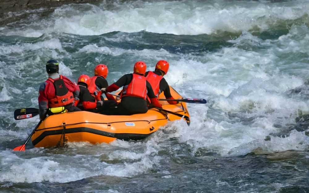
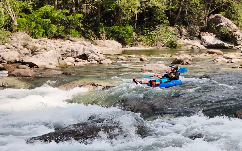
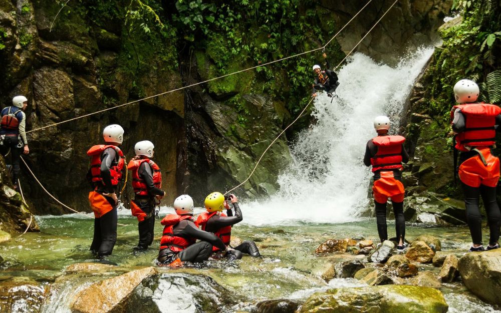
BergamoXP is the first aquatic sports center in the province of Bergamo. We are professionals specializing in the disciplines ofKayak, Canyoning, Rafting, Hydrospeed, River Trekking. We are a team of nature, outdoor and adventure enthusiasts, lovers and connoisseurs of our area.
Choose BergamoXP, the adventure in our backyard is waiting for you!
.