
Towe rocky bastion of Val Brembana! Read with us the description of the itinerary for the hike to Monte Cancervo.
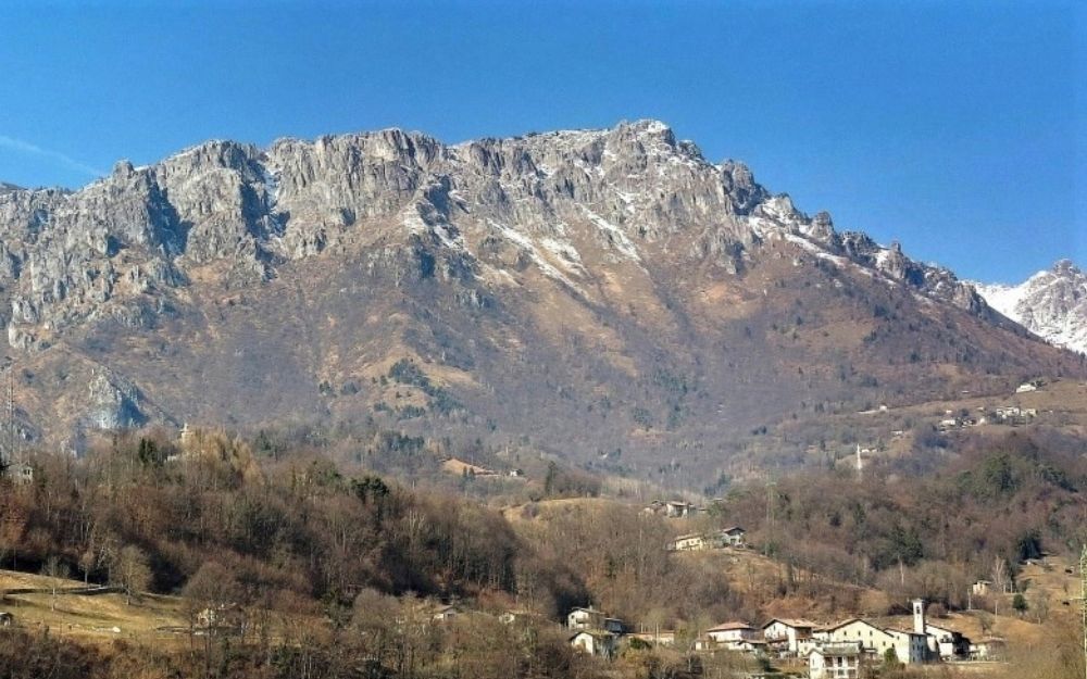
The Monte Cancervo is a towering rocky bastion that rises above the town of San Giovanni Bianco, in Val Brembana, and is located at the beginning of the ridge that separates it from the Val Taleggio. In this article, we describe the ascent itinerary starting from the latter valley (there are others starting from Brembella, a fraction of Camerata Cornello).
The nearby Monte Venturosa can also be reached. We described the itinerary in this article of our blog here.
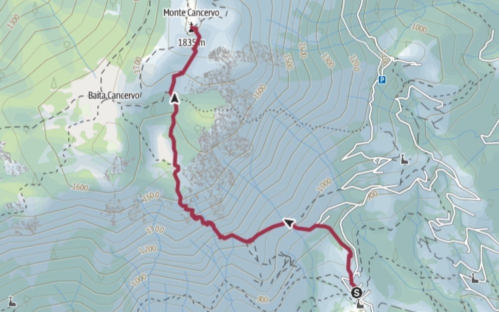
We reach San Giovanni Bianco by car and then take the road to the Val Taleggio. After a few hundred meters, we take the deviation to the fraction of Pianca, which we reach by following the numerous hairpins of the road. We then leave the car in the parking lot in front of the church of this village.
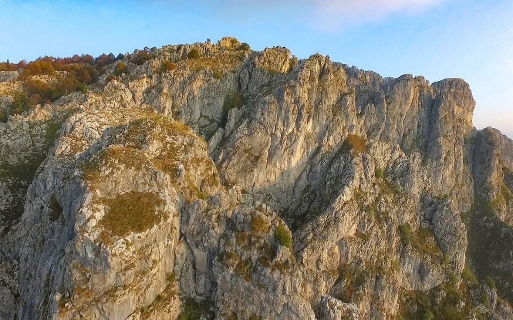
It is from the church square that the CAI 102 trail departs, which first rises among the houses of the village and then through meadows. We continue along this path, passing some hunting lodges and a particular rock formation with a natural roof-like shape. We are now close to the imposing towers of Monte Cancervo, from where we can enjoy a delightful view of the town of San Giovanni Bianco.
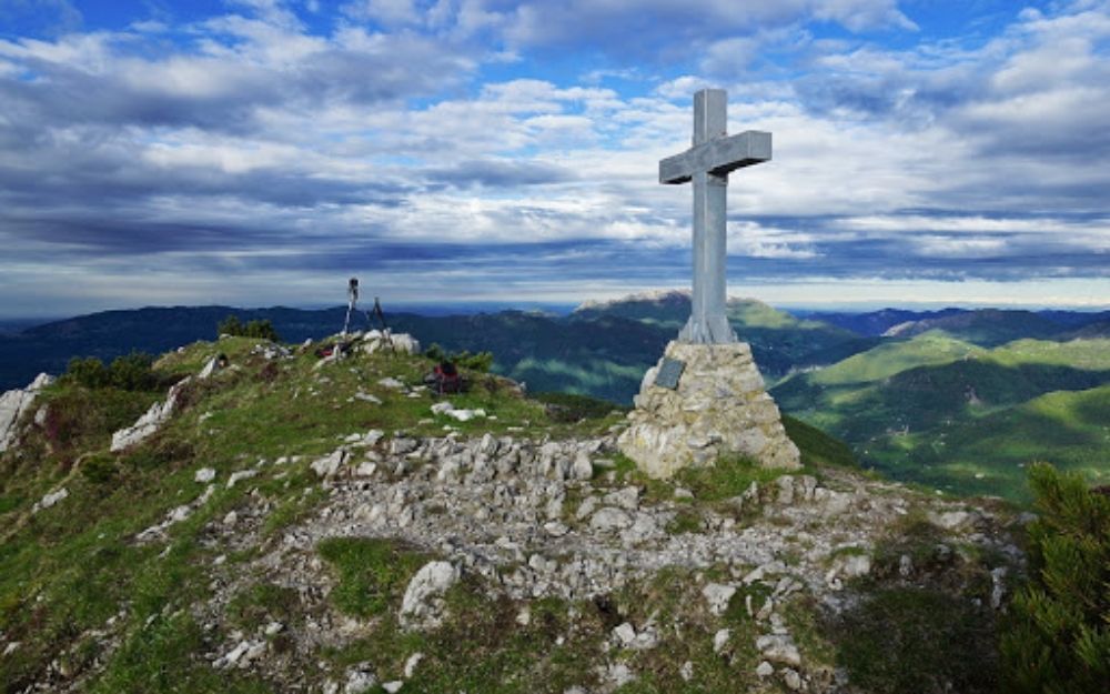
We then reach a channel equipped with some chains, a section that requires only a little attention, called the Canal Catif. After this passage, the channel opens up to a wide meadow, characterized by a pool of water in the center. Right after this, on a large rock we read the indications for Monte Cancervo, and at the fork we take the right, leaving the CAI 102 trail. We reach a second clearing in a short time and at a second fork, we keep right again, ignoring the indications for Baita Cancervo. Continuing along the path, following the evident yellow marks, we soon reach the top of Monte Cancervo and its summit cross. We thus enjoy wide panoramas of all the Orobie and in particular the Monte Venturosa, which could be reached by descending to the Grialeggio pass. The article about the snowshoe hike to Monte Venturosa can be found at this link instead.
The return is made along the same route traveled on the ascent.
The itinerary requires a moderate workout and has a short section with some chains to make the ascent easier in a passage.
You can find the interactive map of the route, complete with altitude and downloadable GPS track, at this link.
Always organize your trips with care, choose appropriate equipment, and verify the itinerary before embarking on it.
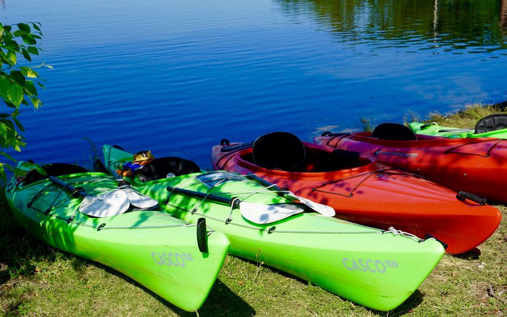
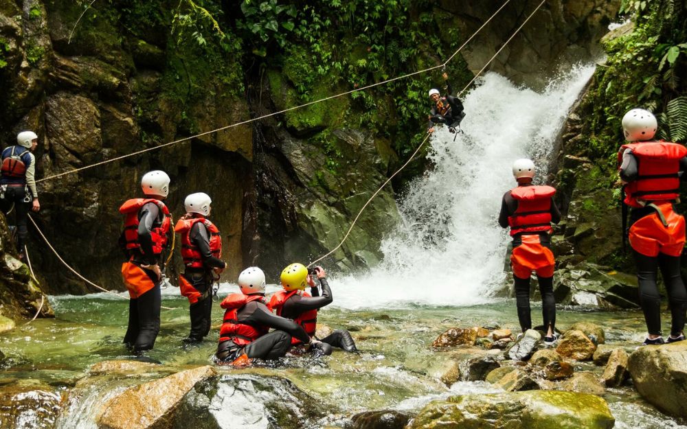
BergamoXP
BergamoXP is the first aquatic sports center in the province of Bergamo. We are a team of nature enthusiasts, outdoor and adventure lovers, connoisseurs of our territory and professionals specializing in the disciplines of Kayak, Canyoning, Rafting, Hydrospeed, River Trekking.
Choose BergamoXP, the adventure in our backyard is waiting for you!