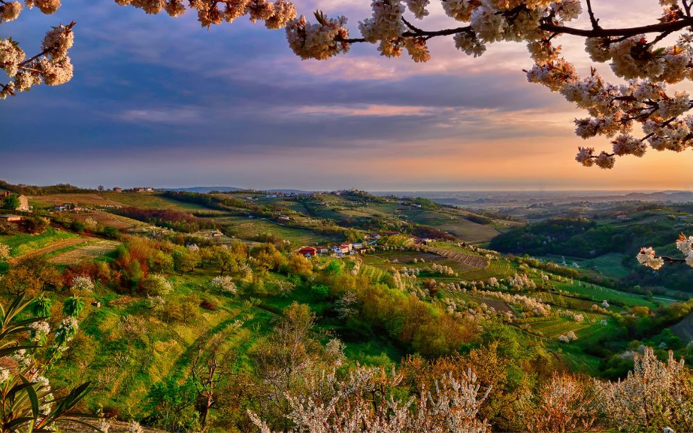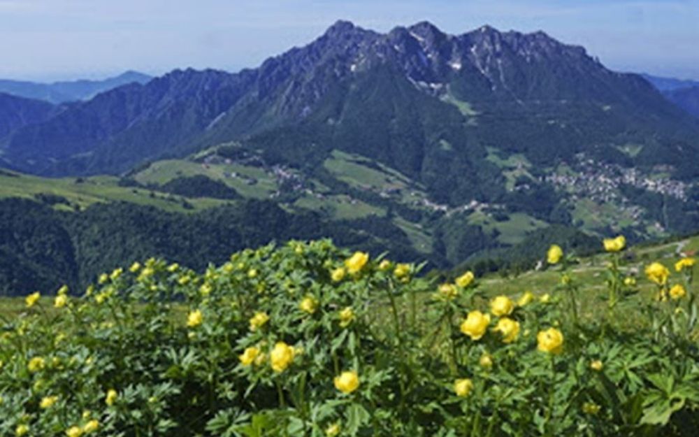

A high-altitude botanical garden! Join us in discovering the itinerary along the Flowers Trail of the Orobie.
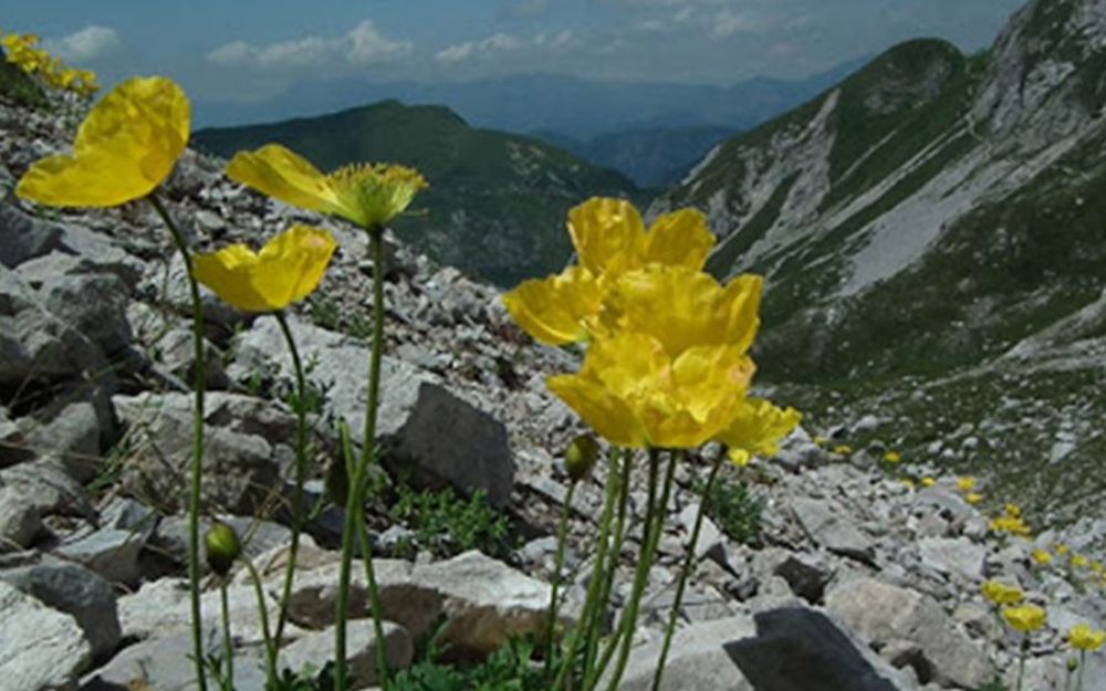
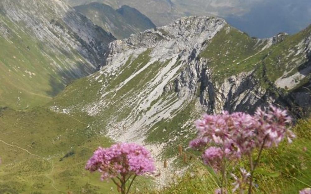
Every summer, the slopes of the Arera Mountains are filled with colorful flowers and in this article, we describe an easy loop hike along the “Carlo Brissoni” flowers trail, which winds through interesting blooms between 1820 and 2080 meters above sea level to admire their beauty.
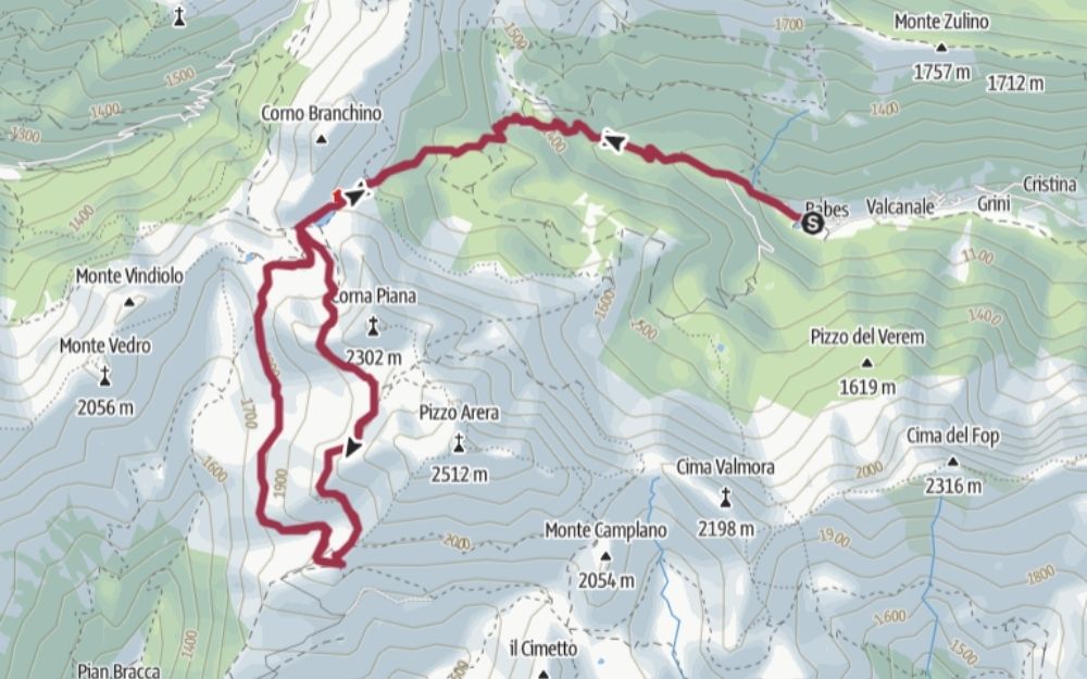
The loop is divided into two sections, the upper and lower, which begin and end at the Capanna 2000 Refuge and the Branchino Pass, respectively. The trail can be approached from three different points: from Zambla Alta to Capanna 2000, from Valcanale to the Branchino Pass, or from Roncobello back to the Branchino Pass. We will describe the hike starting from Valcanale.
Once we reach this location, we leave the car in the designated parking lot (for a fee) and walk along the easy dirt road until we reach the Alpe Corte refuge and then, by trail, the Branchino refuge and the pass of the same name, where our botanical trail will begin. We start from the upper section, first encountering the beautiful Branchino Lake and then ascending to the Corna Piana pass. From there, we descend into the beautiful glacial basin of Mandrone. Continuing on, we climb to the Gabbia Pass, then enter the Val d’Arera and descend to the Capanna 2000 Refuge.
From the Capanna 2000 Refuge, it is also possible to climb to the summit of Pizzo Arera. We talked about this itinerary in the following article.
After a well-deserved rest, we will take the lower part of the trail, which will bring us back to the Branchino Pass at a more or less constant altitude, and from there, back to the car.
The hike does not present particular difficulties and only a minimum of training is required.
You can find the interactive map of the route, complete with altitude and downloadable GPS track, at this link.
Always organize your trips with care, choose appropriate equipment, and verify the itinerary before embarking on it.
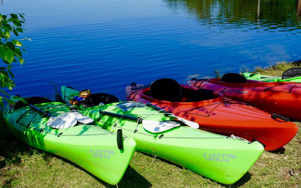
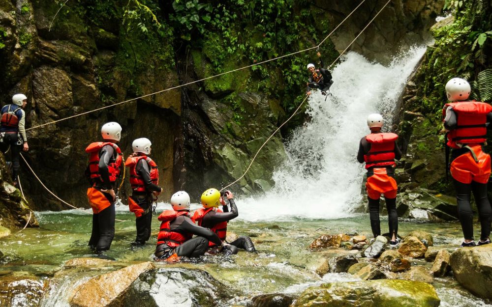
BergamoXP
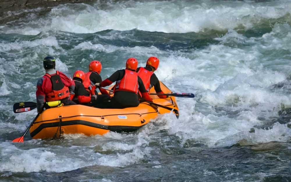
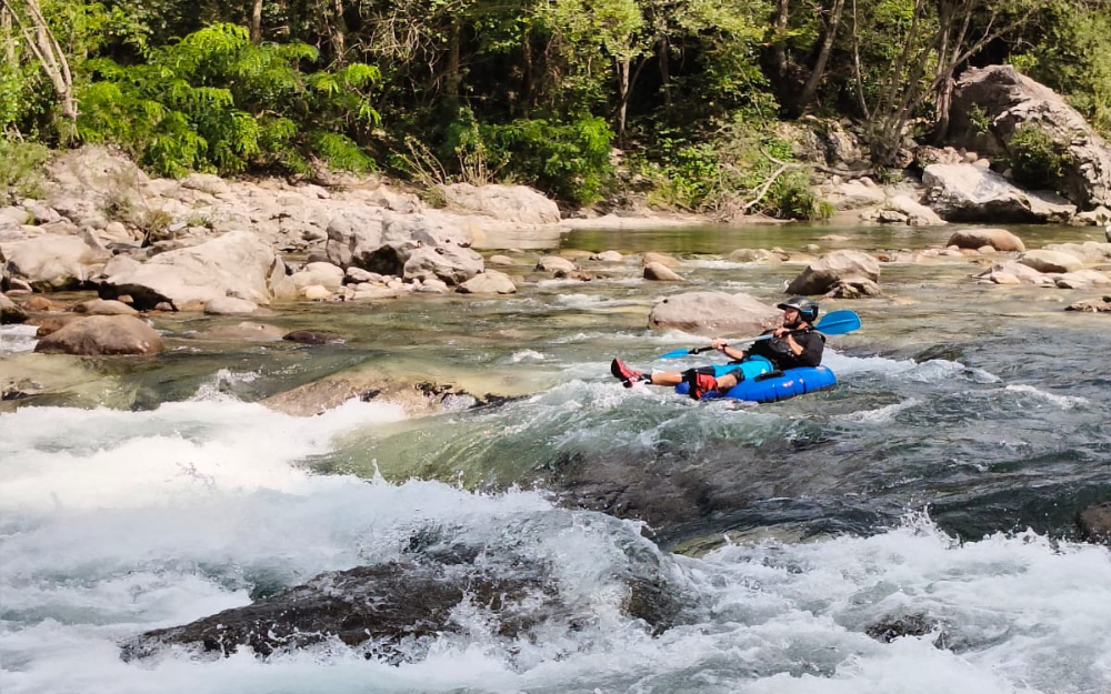
BergamoXP is the first aquatic sports center in the province of Bergamo. We are a team of nature enthusiasts, outdoor and adventure lovers, connoisseurs of our territory and professionals specializing in the disciplines of Kayak, Canyoning, Rafting, Hydrospeed, River Trekking.
Choose BergamoXP, the adventure in our backyard is waiting for you!