Discover with us the itinerary for the excursion to the Tagliaferri Refuge, in Val di Scalve
The Tagliaferri Refuge is located at an altitude of 2,328 meters, in the municipality of Schilpario, in Val di Scalve. Owned by the CAI of Bergamo, the building dates back to 1985, the year of its inauguration. The refuge is the highest in the Bergamo Orobie, located at the Venano pass in the Vò valley.
In this article we are going to see the summer itinerary to reach it from Schilpario, Ronco.

TRIP SUMMARY
DIFFICULTY: Moderate to High
TOTAL DIFFERENCE IN HEIGHT: about 1380 meters
MAX ALTITUDE: 2328 mt
Type: A/R
DURATION: 5.5h one way
DEPARTURE: Schilpario, Ronco (BG)
ARRIVAL: Tagliaferri Refuge (BG)
CAI TRAIL SIGN: 413
We reach Schilpario, in Val di Scalve, from the Presolana pass or from the Via Mala and Darfo Boario Terme. We continue to Ronco, where we leave the car in a large square after a hairpin bend. From here we follow the obvious signs that lead us along a mule track that goes into the woods, on the right orographic bank of the Vò stream. At the junction for the Vò waterfalls, keep left and continue to climb the path immersed in the forest. The slope is never excessive and you proceed in a regular manner. In short, the forest gives way to pastures and finally the panorama opens up.

When the slopes become less pronounced, it means that we are near the first plateau and soon reach the pasture where the Baita Venano di Sotto stands. We face a short climb and in a short time we also reach a second hut, that of Venano di sopra. Still immersed in the pastures, the path deviates south-west along the plateau, until it meets the climb again. This is the last ascent, which will finally take us to the Venano pass and the Tagliaferri refuge.

From the refuge it is possible to reach the Vivione pass, the Belviso pass and lake or the Curò refuge.
The refuge boasts 37 beds and excellent home cooking.
The return takes place along the same route as the outward journey.

The itinerary is technically easy but due to the difference in altitude faced and the length of the route, it requires good training. You can find the interactive map of the route, complete with elevation profile and downloadable GPS track, at this link.
Always carefully plan your trips, choosing the appropriate material and equipment and verifying the itinerary before embarking on it.
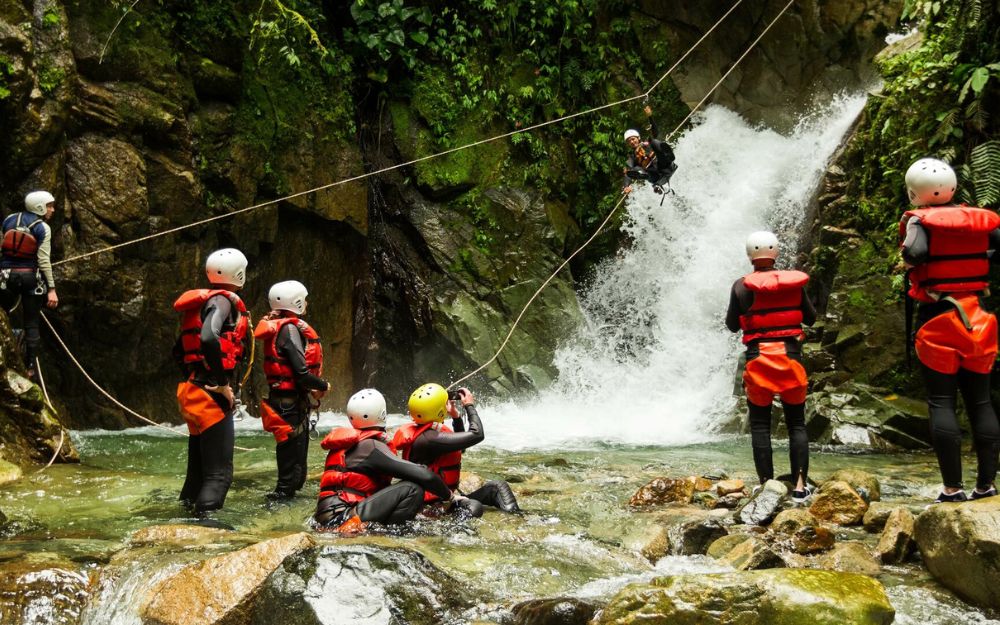
BergamoXP
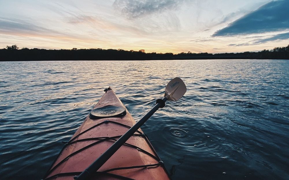
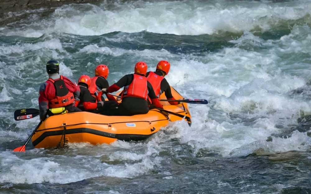
BergamoXP is the first aquatic sports center in the province of Bergamo. We are professionals specializing in the disciplines ofKayak, Canyoning, Rafting, Hydrospeed, River Trekking. We are a team of nature, outdoor and adventure enthusiasts, lovers and connoisseurs of our area.
Choose BergamoXP, the adventure in our backyard is waiting for you!
.