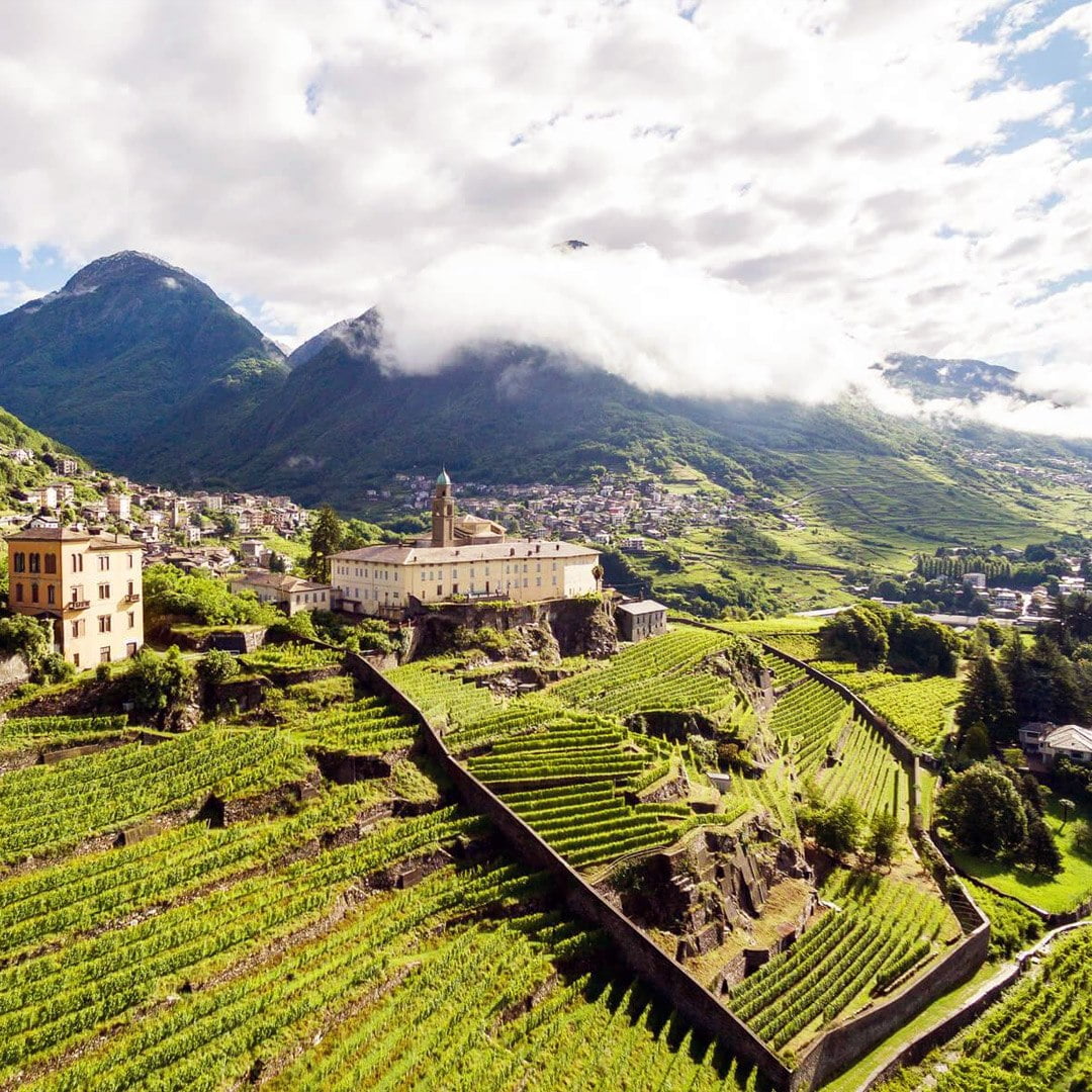
Snowshoeing with Flavor! Discover the itinerary with us for the snowshoeing excursion to Chiareggio, in Valmalenco
Chiareggio is a well-known tourist village in Valmalenco, a lateral valley of Valtellina. Inside the village, numerous accommodations welcome visitors, offering delights of typical Valtellinese cuisine. The easy snowshoeing route in Chiareggio follows the road, which is closed to cars in winter, that leads from San Giuseppe and the valley floor up to the village.

TRIP SUMMARY
DIFFICULTY: Easy
ELEVATION GAIN: About 160 meters
MAXIMUM ALTITUDE: About 1600 meters
Type: A/R
DURATION: 1.5 hours Up / 1.15 hours Down
START: San Giuseppe, Chiesa in Valmalenco (SO)
DESTINATION: Chiareggio (SO)
The itinerary starts from San Giuseppe, a village located a few kilometers after Chiesa in Valmalenco, the main settlement of the valley. We leave the car in the parking lot just before the barrier that, in the winter season, closes the road leading up to Chiareggio.

With snowshoes on, from the parking lot, we start ascending the road. Alternatively, you can choose to ascend the cross-country skiing track, which is always groomed and runs parallel to the road itself.
On a gentle incline, you quickly reach the locality of Carotte (Cà Rotte), a place named after some impressive rock formations that appear as if pierced by natural erosion, resembling the local dialect word “càroti”, which means pierced containers used for draining ricotta cheese.
Continuing along the road, you enter a beautiful fir forest until you reach the locality of Senevedo. As you gain altitude, the first peaks of Val Chiareggio start to appear, particularly the Cima di Vazzeda, standing at 3191 meters.
After passing the hydroelectric plant on the Entovasco stream and a slight up-and-down, you quickly reach the village of Chiareggio, not before catching sight of the Nevasco valley, a channel that serves as an outlet for avalanches coming down the southern slopes of Cima di Fora.
The return follows the same route taken on the ascent.
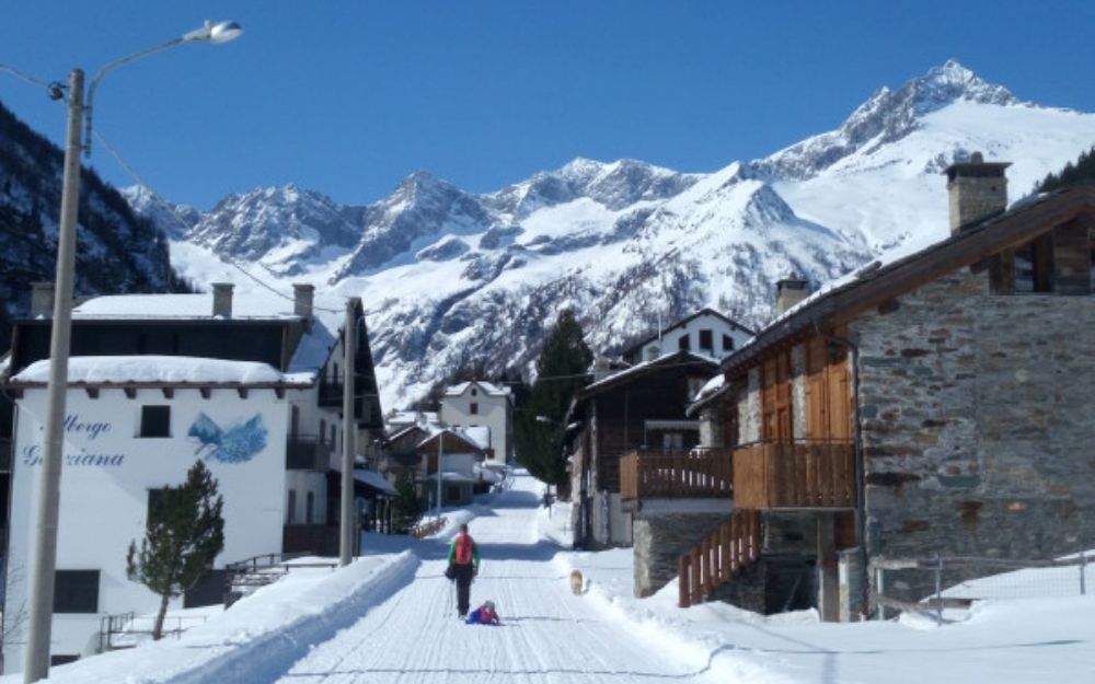
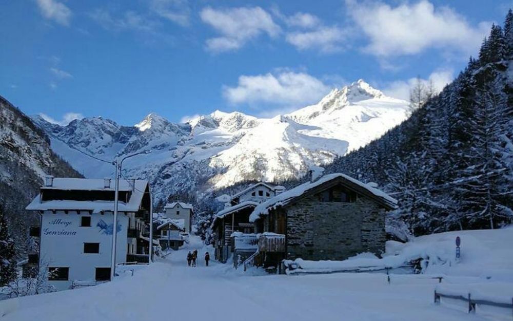
The elevation gain is moderate, and there are no technical or challenging sections. The excursion is easy and suitable for everyone.
You can find the interactive map of the route, complete with elevation profile and downloadable GPS track, at this link.
For all our organized trips and events, check this page.
Always organize your trips with care, choose appropriate equipment, and verify the itinerary before embarking on it.


