
Following the Miners’ Trails! Discover the itinerary with us along the Path of Tracciolino
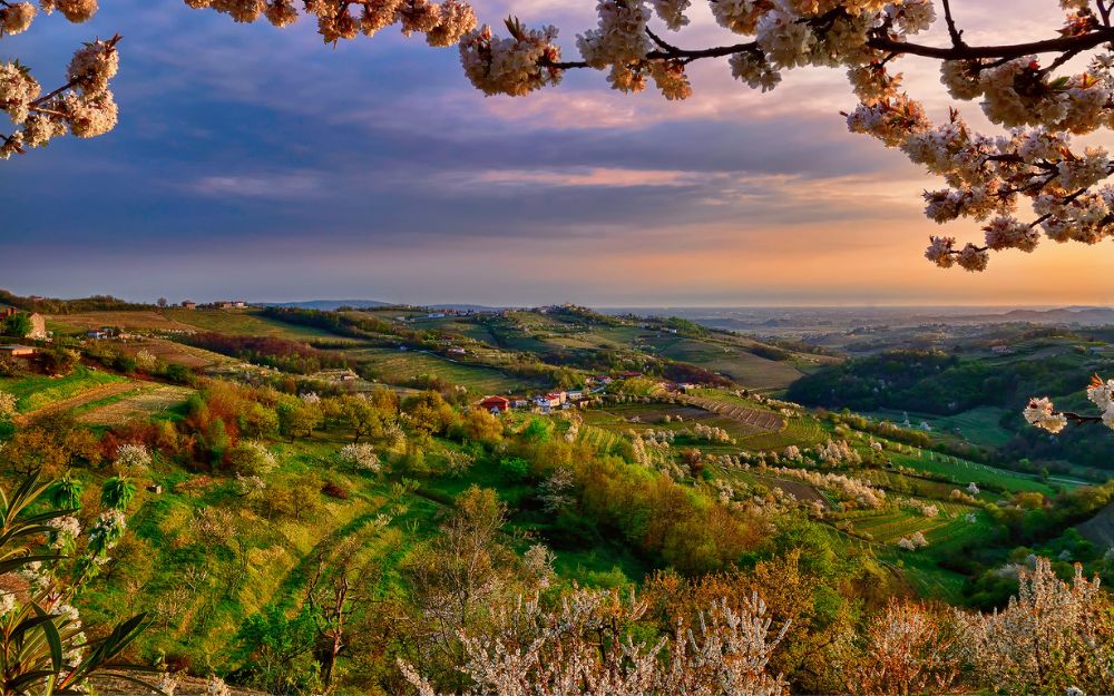
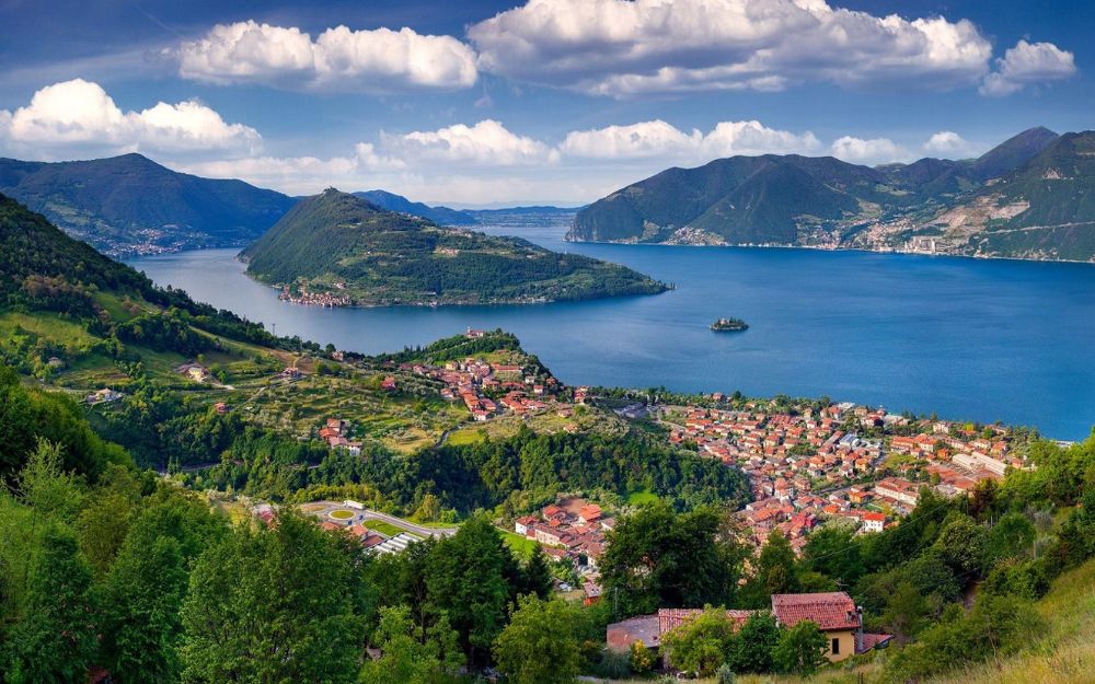
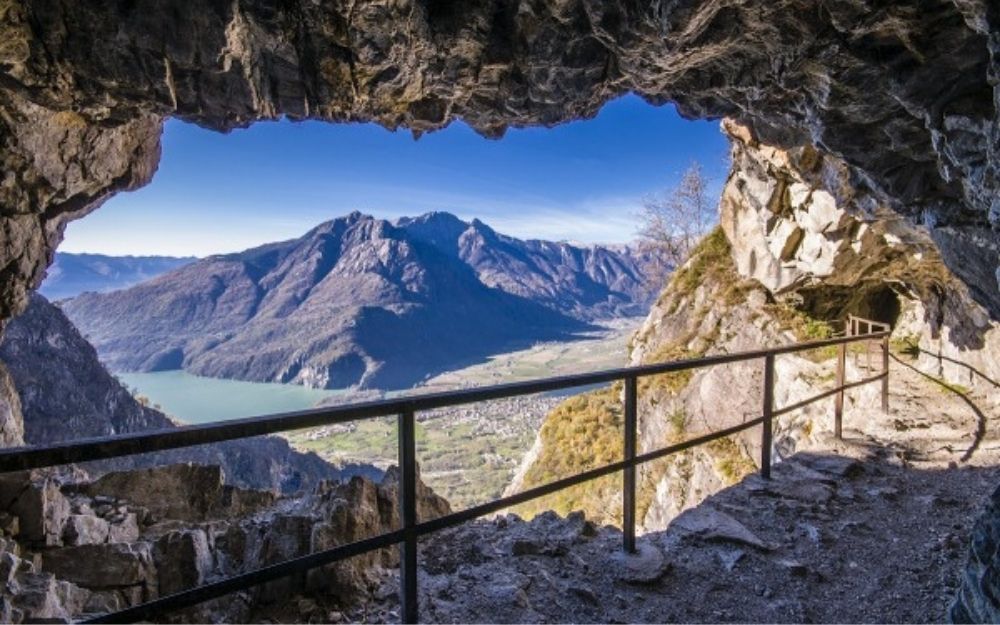
The Tracciolino Path is a scenic route carved into the mountain that, through spectacular tunnels and passages cut into the rock, connects two valleys and their respective dams: Val Codera and Val dei Ratti, above Novate Mezzola lake.
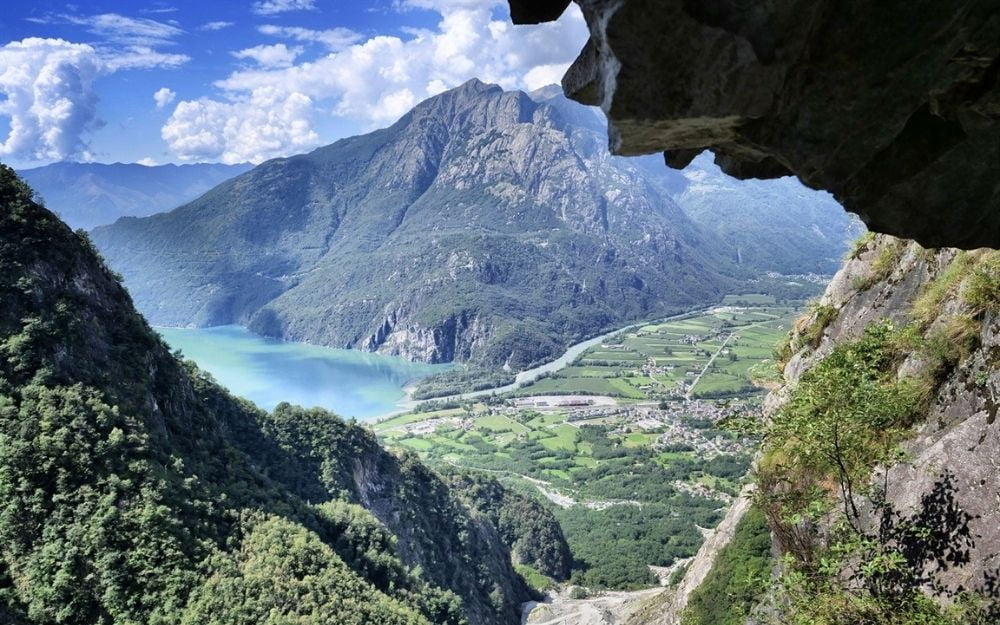
We leave the car in the large parking area by the Novate Mezzola lake, after the bridge over the Codera stream. From here, we walk along the road that follows the stream and leads us to the entrance of the trail towards the village of San Giorgio. This little village, perched in a spectacular position on the mountains overlooking Lake Mezzola, is reachable only on foot via the trail we will take and offers very interesting views, well worth a stop.
From the village of San Giorgio, we then follow the signs for Val dei Ratti, where the actual Tracciolino Path begins. The uphill effort is now behind us, as from here onward, the trail is entirely flat. Soon, the tunnels and the spectacular passages cut into the rock begin.
The path is secured by a metal railing, allowing the trail to be safely traversed even by children. Towards the end of the route, a narrow-gauge railway track appears, which will accompany us to the dam keeper’s house, where the Tracciolino Path ends.
From there, we descend through the woods to Verceia on the lake, where by following the cycle path, we can reach the car parking area and thus complete the loop.
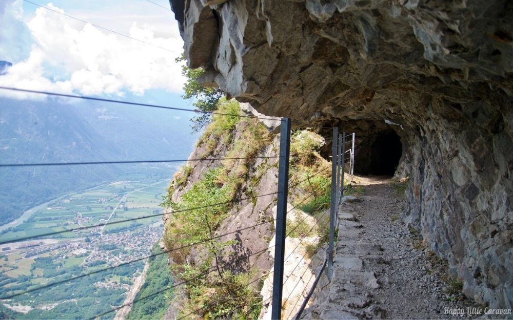

This excursion doesn’t entail any particular technical difficulties and only requires a minimal level of fitness. In case of cloudy weather, it’s recommended to bring a headlamp for navigating the tunnels.
Unfortunately, the route is often under maintenance or closed due to landslides, so before embarking, verify its accessibility.
You can find the interactive map of the route, complete with elevation and downloadable GPS track, at this link:
https://bit.ly/tracciolino_bgxp
Always organize your trips with care, choose appropriate equipment, and verify the itinerary before embarking on it.

BergamoXP
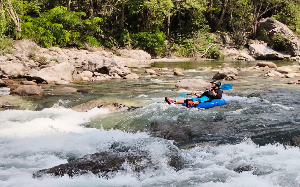
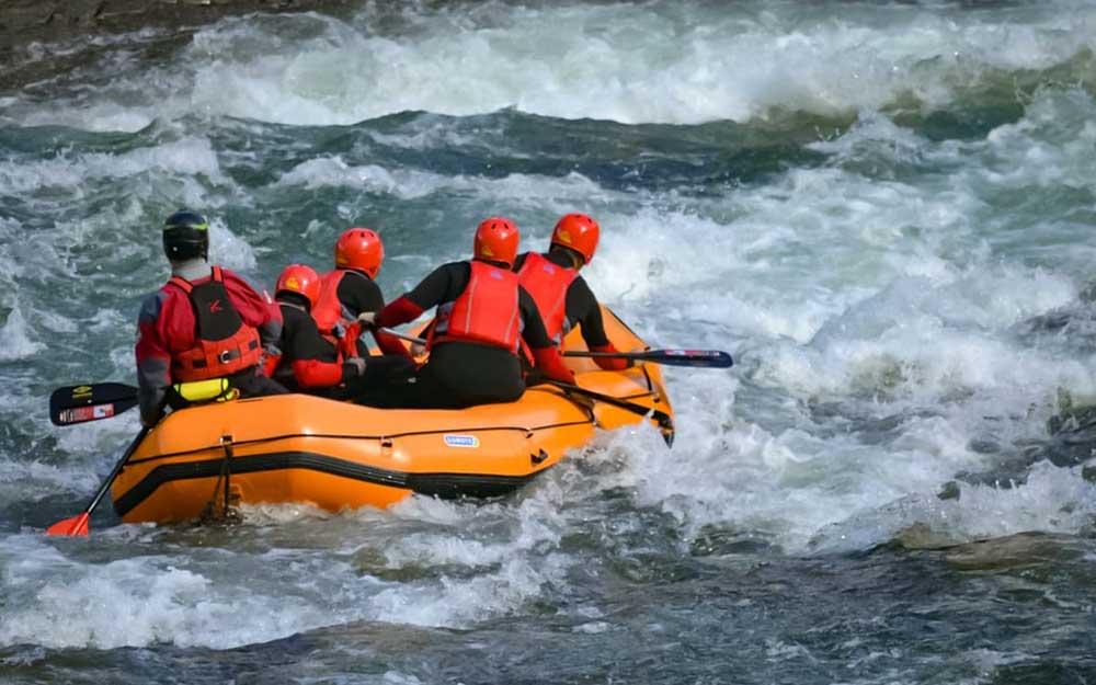
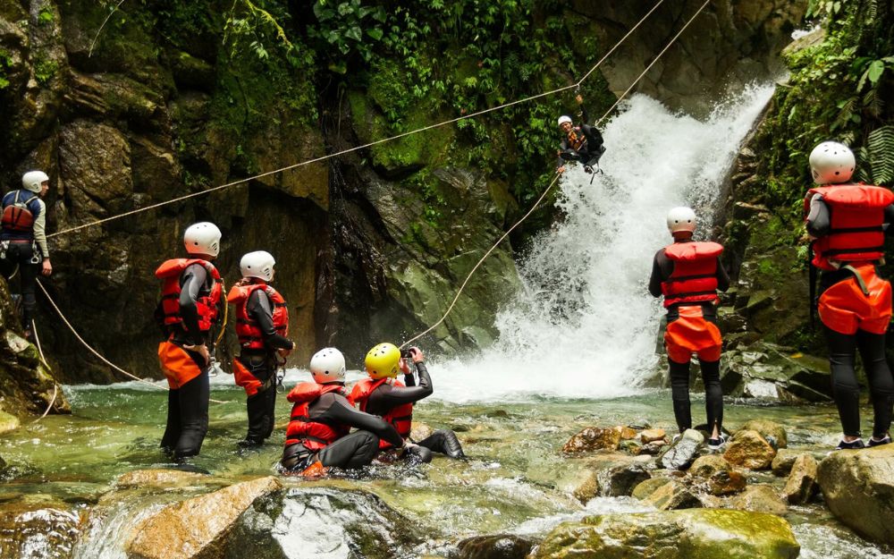
BergamoXP is the first aquatic sports center in the province of Bergamo. We are a team of nature enthusiasts, outdoor and adventure lovers, connoisseurs of our territory and professionals specializing in the disciplines of Kayak, Canyoning, Rafting, Hydrospeed, River Trekking.
Choose BergamoXP, the adventure in our backyard is waiting for you!