Discover with us the itinerary for the excursion to the Longo Refuge, in the upper Brembana Valley
The Longo Refuge is located at an altitude of 2026 meters, in the municipality of Carona, in the upper Brembana Valley. Owned by the CAI of Bergamo, the building dates back to 1923, but was renovated and subject to modernization and expansion in 1985 and 1999. The refuge was named after the brothers Giuseppe and Innocente Longo, who died during the ascent of the Matterhorn in 1934.
The refuge is located at the foot of the Devil’s Lake and Mount Aga, a great classic peak of the Orobie, to be done in a day.

TRIP SUMMARY
DIFFICULTY: moderate
TOTAL DIFFERENCE IN HEIGHT: about 850 meters
MAX ALTITUDE: 2026 mt
Type: A/R
DURATION: 3.0h one way
DEPARTURE: Carona (BG)
ARRIVAL: Longo Refuge (BG)
CAI SIGNPOSTS: 210, 208, 224
The departure is from Carona. We leave the car in one of the parking lots along the ENEL road, just above the village. Remember to buy one of the scratch cards in advance from authorized merchants.
We follow the signs indicating the village of Pagliari, the Calvi Refuge, the Sambuzza Valley and of course our destination, walking along the paved road immersed in the woods. in about 10 minutes we reach the characteristic village of Pagliari. We ignore trail 247 on the right for the summer path to the Calvi refuge, and continue straight through the village.
Now the asphalt gives way to a dirt road/mule track. Going up, we come to a junction with signs for Val Sambuzza and Rifugio Longo. You could also continue on the main road, but we suggest taking this detour because it takes place along a path that passes through a pleasant forest.

Between hairpin bends with a marked slope we quickly gain altitude, until we cross the path of the Western Orobie, CAI 208 signpost, coming from Foppolo.
On a slight slope we continue along this until the next junction, where we follow the signs for our destination, taking a left along the CAI 224 trail sign.
The last stretch on a dirt road and we soon reach the Longo Refuge, already in sight from the crossroads.

Nearby, from the refuge you can reach the Calvi refuge, Mount Cigola or Mount Aga. Given its secluded position, it is also possible to spot ibex and marmots.
The refuge boasts 29 beds and excellent home cooking.
The return takes place along the same route as the outward journey.

The itinerary is technically easy but requires a minimum of training. You can find the interactive map of the route, complete with elevation profile and downloadable GPS track, at this link.
Always carefully plan your trips, choosing the appropriate material and equipment and verifying the itinerary before embarking on it.
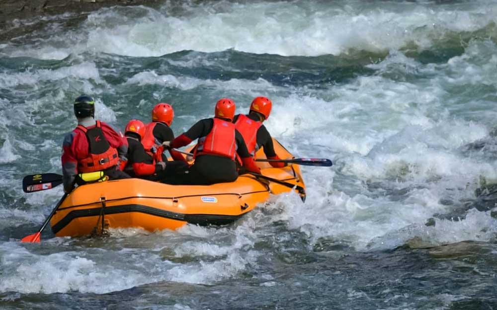
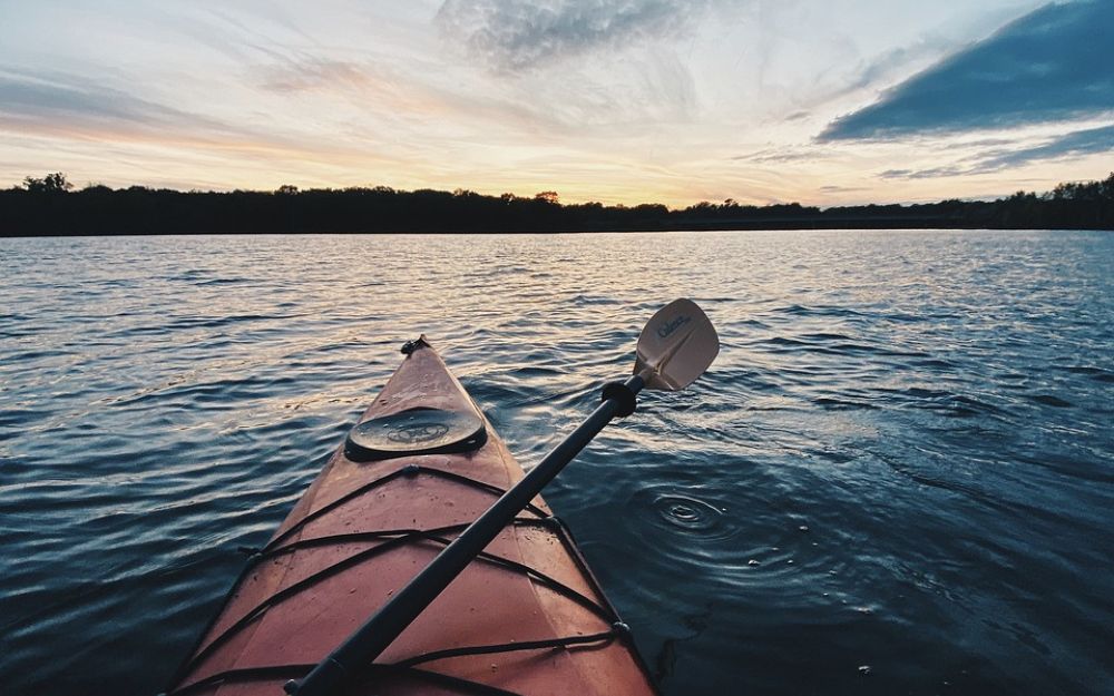
BergamoXP
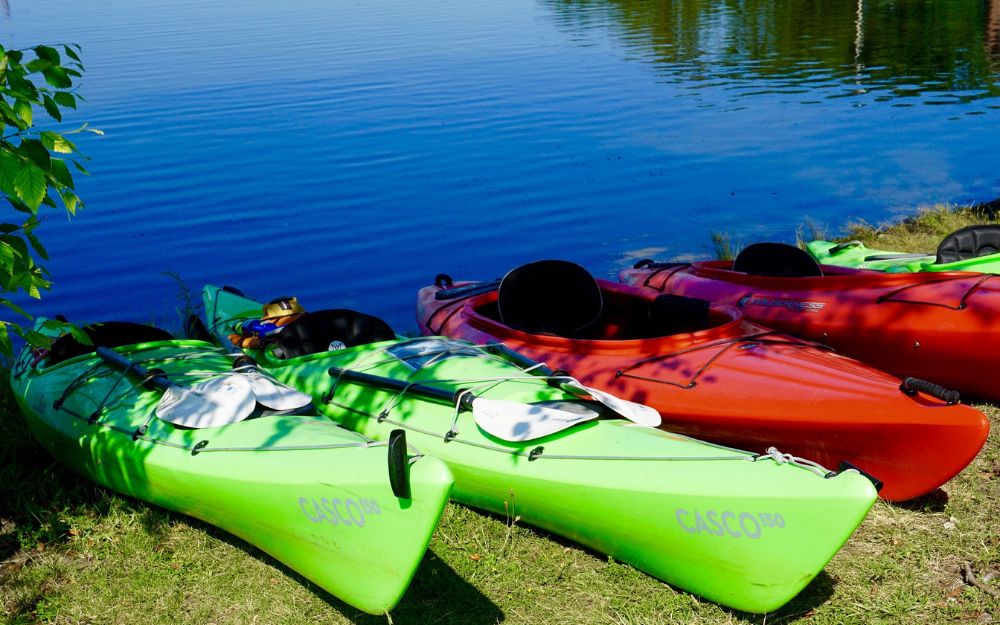
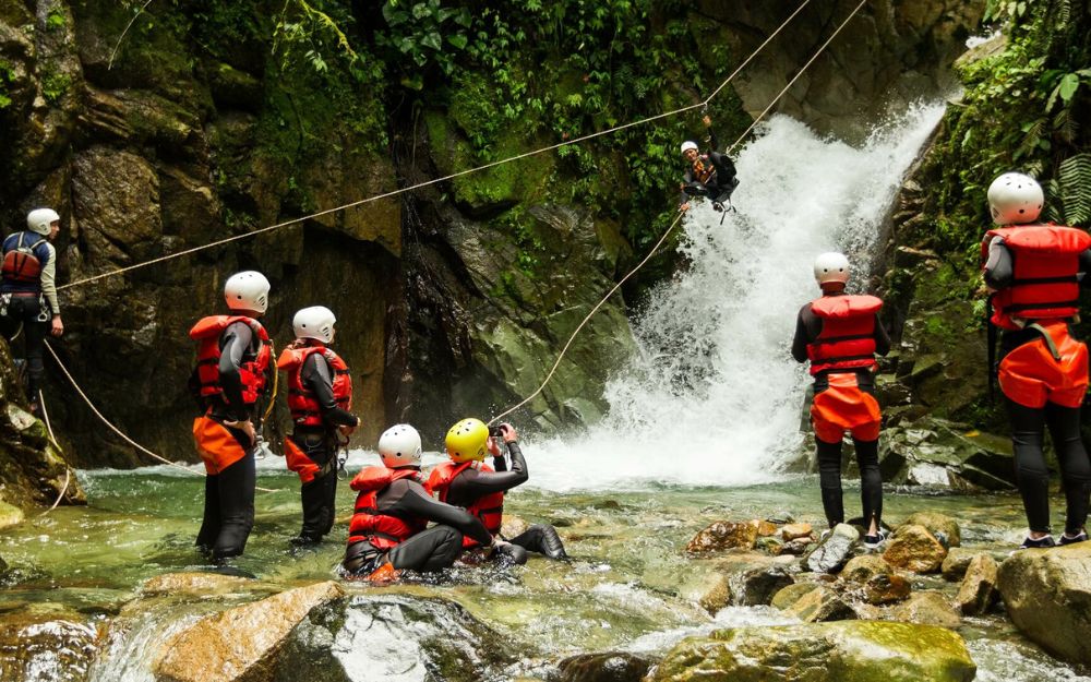
BergamoXP is the first aquatic sports center in the province of Bergamo. We are professionals specializing in the disciplines ofKayak, Canyoning, Rafting, Hydrospeed, River Trekking. We are a team of nature, outdoor and adventure enthusiasts, lovers and connoisseurs of our area.
Choose BergamoXP, the adventure in our backyard is waiting for you!
.