Among the giants of the Orobie! Discover with us the itinerary for the excursion to the Baroni al Brunone Refuge, in the upper Seriana Valley
The Baroni al Brunone Refuge is located at an altitude of 2297 meters, above the town of Fiumenero, a hamlet of Val Bondione, in the upper Seriana Valley. Owned by the CAI of Bergamo, the first building dates back to 1879, although the current one was inaugurated “only” in 1894. In 1968 it was finally dedicated to the Bergamo mountain guide Antonio Baroni, from whom the refuge takes its name.
The arduous and tiring climb is amply rewarded by the views and glimpses that can be enjoyed from its terrace, being surrounded by giants such as Pizzo Redorta, Punta di Scais and Pizzo del Diavolo di Tenda. In this article we are going to describe the itinerary that leads to the refuge starting from Fiumenero.

TRIP SUMMARY
DIFFICULTY: moderate
TOTAL ELEVATION GAIN: about 1550 meters
MAX ALTITUDE: 2297 mt
Type: A/R
DURATION: 4.5h one way
DEPARTURE: Fiumenero (BG)
ARRIVAL: Baroni al Brunone Refuge (BG)
CAI TRAIL SIGNS: 227
The departure is from Fiumenero, a hamlet of Valbondione. We leave the car in the cemetery parking lot, just before entering the town.
From here, we cross the provincial road and, following the obvious signs, we walk through the woods going up the valley with never excessive slopes, skirting the Fiumenero stream. Numerous pools invite you to take a refreshing dip and, on the way back, will be a pleasant refreshment break. But during the climb we do not linger and continue further. We cross the stream over a small bridge.
Keeping to the orographic left of the valley, we finally reach the Piano di Campo, a large clearing where numerous tributaries converge to form the stream we have just left behind. For a short stretch the climb becomes more accentuated, passing next to the waterfall of the Aser stream (in dialect “maple”). In a short time we reach a second plateau, the Pian del Aser, where a second bridge allows us to cross the latter as well.

From now on the climb becomes more marked, but our destination, although far away, is already in sight. Through steep hairpin bends we gain altitude for about 1 hour of walking, until we reach the junction of our path with the CAI 225, coming from the Calvi refuge and part of the Orobie Trail.
In the last stretch the slope softens and in about 20 minutes the path takes us to reach our coveted destination, the Brunone refuge.

The view from here is enchanting, thanks to the altitude you can enjoy a splendid view of Pizzo Redorta and Pizzo del Diavolo di Tenda.
Staying overnight at the refuge, the following day it is possible to walk and reach some challenging and emblazoned peaks such as Pizzo Redorta or Punta di Scais, or easier excursions such as those to the Calvi refuge, the Coca refuge, the Cima Soliva or the Pizzo del Salto.
The refuge boasts 45 beds and a sturdy home kitchen.
The return takes place along the same route as the outward journey.

The itinerary is technically easy but requires good training. Without beating around the bush, the climb to the Brunone Refuge is among the most challenging of the Orobie refuges. You can find the interactive map of the route, complete with elevation profile and downloadable GPS track, at this link.
Always carefully plan your trips, choosing the appropriate material and equipment and verifying the itinerary before embarking on it.
BergamoXP
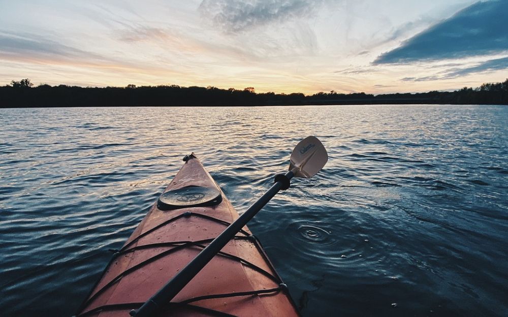
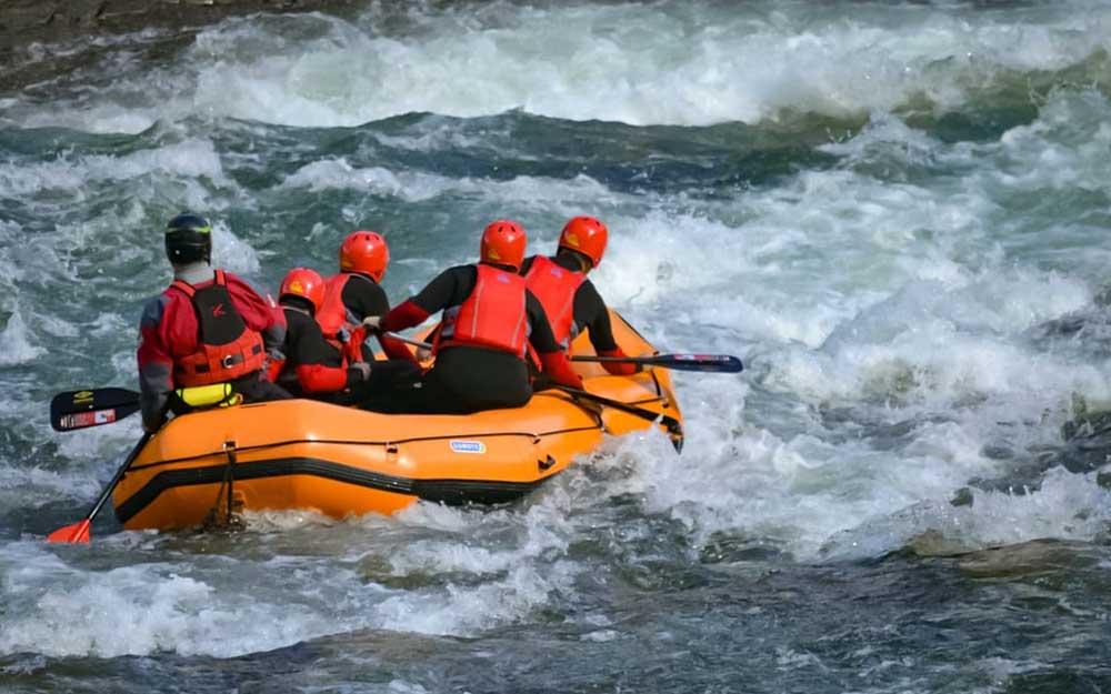
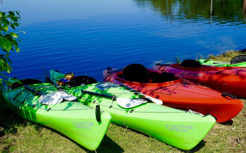
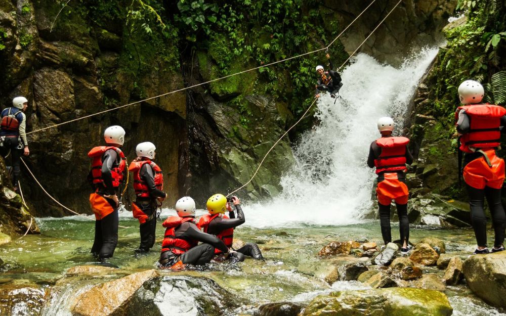
BergamoXP is the first aquatic sports center in the province of Bergamo. We are professionals specializing in the disciplines ofKayak, Canyoning, Rafting, Hydrospeed, River Trekking. We are a team of nature, outdoor and adventure enthusiasts, lovers and connoisseurs of our area.
Choose BergamoXP, the adventure in our backyard is waiting for you!
.