Cycling in Val Cavallina! Join us to discover the itinerary along the Cherio river cycle path and Endine lake.
Val Cavallina is a small and green valley in the Bergamo Prealps, situated between Iseo lake and the Val Seriana. It is crossed by the Cherio river, a small tributary of the well-known Oglio river, and by Endine lake, a small green gem recognized as a park by the Lombardy Region. In this article, we will describe the bicycle route along the cycle path that runs alongside the Cherio river to Endine lake and then the circuit around the lake itself.

TRIP SUMMARY
DIFFICULTY: easy
LENGTH: approximately 40 km
ELEVATION GAIN: about 130 meters
MAXIMUM ALTITUDE: about 350 meters
TYPE: Loop
DURATION: 2.15 hours Up / 1.45 hours Down
START: Zandobbio (BG)
The itinerary starts in Zandobbio where the cycle path begins after crossing the bridge over the Cherio river. Along the river, to the left, we have the provincial road and the more anthropomorphized environment, while to the right, we have the woods and mountains of the San Fermo hills. In order, we first encounter the village of Entratico and then Borgo di Terzo.

Continuing, we soon reach Casazza and then Monasterolo del Castello, where we finally encounter the lake. Monasterolo del Castello, as the name suggests, is a charming village characterized by a 10th-century castle that is privately owned and today is used for ceremonies and events. We turn right at this building onto an unpaved road that leads us to cross a bridge, where the Cherio river originates as it exits Endine lake.

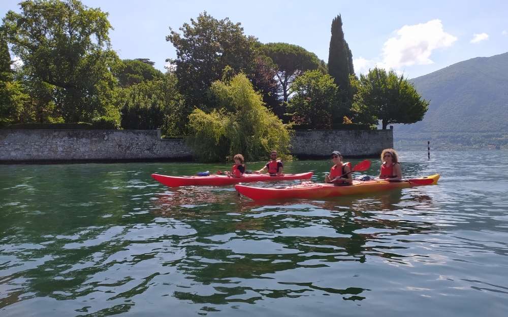
We now proceed along the most naturally interesting part of the itinerary, which follows the circuit around the lake. The lake, with an intense green color, has shores where lush reed beds grow, providing an ideal environment for the nesting of numerous species of waterfowl, such as herons, mallards, coots, swans, and cormorants.
Cycling, we encounter the village of Monasterolo del Castello first and then the village of San Felice, with the splendid Church of San Michele Arcangelo located in a spectacular lakeside position. We continue until we reach Endine Gaiano, at the end of the lake, where we leave the unpaved road to take a short section of the provincial road. We then resume the cycle path, which will soon bring us to Spinone al Lago and complete the circuit around the lake.
From here, retracing the cycle path along the Cherio river, we will return to Zandobbio.

The elevation gain is modest, and the route is suitable for everyone.
You can find the interactive map of the route, complete with elevation profile and downloadable GPS track, at this link.
For all our organized trips and events, check this page.

Always organize your trips with care, choose appropriate equipment, and verify the itinerary before embarking on it.

