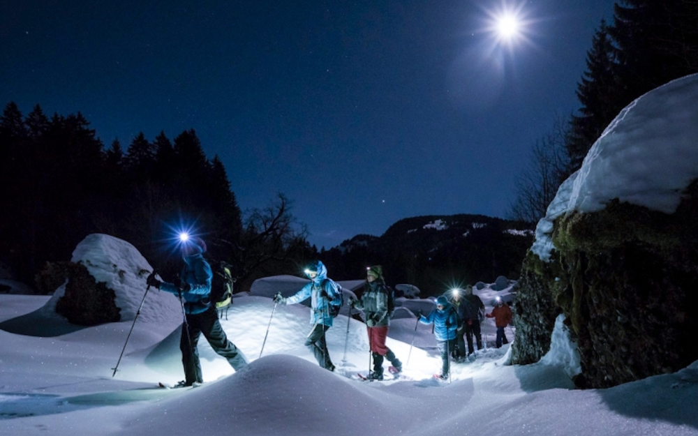
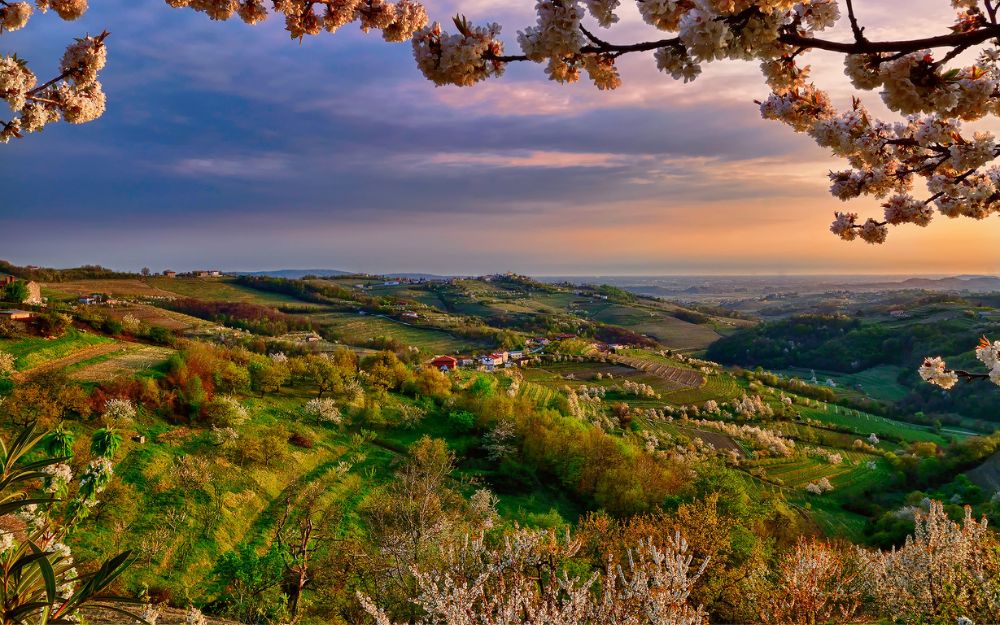
Discover with us the itinerary for the excursion to the Benigni Refuge, in Val Brembana
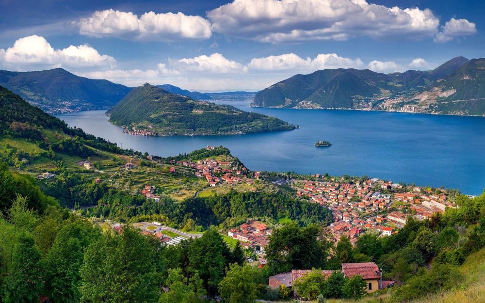
The Benigni Refuge is located at an altitude of 2,222 meters, in the municipality of Cusio, in Val Brembana. Owned by the CAI of Val Brembana, the building dates back to 1984, the year of its inauguration. The refuge is located in Val Salmurano, along the watershed between the provinces of Bergamo and Sondrio.
In this article we are going to see the summer itinerary to reach it from Cusio, in the locality of Sciocc.

TRIP SUMMARY
DIFFICULTY: Moderate to High
TOTAL DIFFERENCE IN HEIGHT: about 711 meters
MAX ALTITUDE: 2222 mt
Type: A/R
DURATION: 2.5h one way
DEPARTURE: Cusio, Sciocc (BG)
ARRIVAL: Rifugio Benigni (BG)
CAI SIGNPOSTS: 108, 101
We go up the Val Brembana road and follow the signs for Cusio first and then the Piani dell’Avaro. We remind you that the road for the latter is paid and we will have to buy the ticket at the appropriate column on the roadside. Shortly after a hairpin bend, before the ballast that supports the road, we leave the car, in the locality of Sciocc. We then walk on the stepped path with signs for the Salmurano pass and for our refuge. The path has a slight slope and enters a beautiful forest.
In a short time the forest opens up, giving way to pastures and a dairy. The path now becomes more challenging and in a short time we reach the San Carlo spring. Always with considerable slopes, we gain altitude until we reach the Salmurano pass. Without reaching it, we turn left onto the CAI 101 – Western Orobie path.

We continue with less demanding slopes up to the famous gully, the last obstacle before arriving at the Benigni refuge. Technically it is not challenging, and only in some places it may require the use of your hands to help us on the climb. After rains, there may be a trickle of water along the canal, but this is hardly a problem.
At the end of the canal, the signs indicate our final destination, and with a last effort in about 15 minutes we reach the Benigni refuge.

Near the refuge there is Lake Piazzotti, and it is also possible to reach the homonymous Pizzo Piazzotti, Pizzo Trona, Pizzo Tre Signori, the Grassi refuge or Mount Valletto.
The refuge boasts 20 beds and excellent home cooking.
The return takes place along the same route as the outward journey.

The itinerary is not technically demanding but the stretch along the gully requires a minimum of mountain experience, and is therefore reserved for experienced hikers. You can find the interactive map of the route, complete with elevation profile and downloadable GPS track, at this link.
Always carefully plan your trips, choosing the appropriate material and equipment and verifying the itinerary before embarking on it.
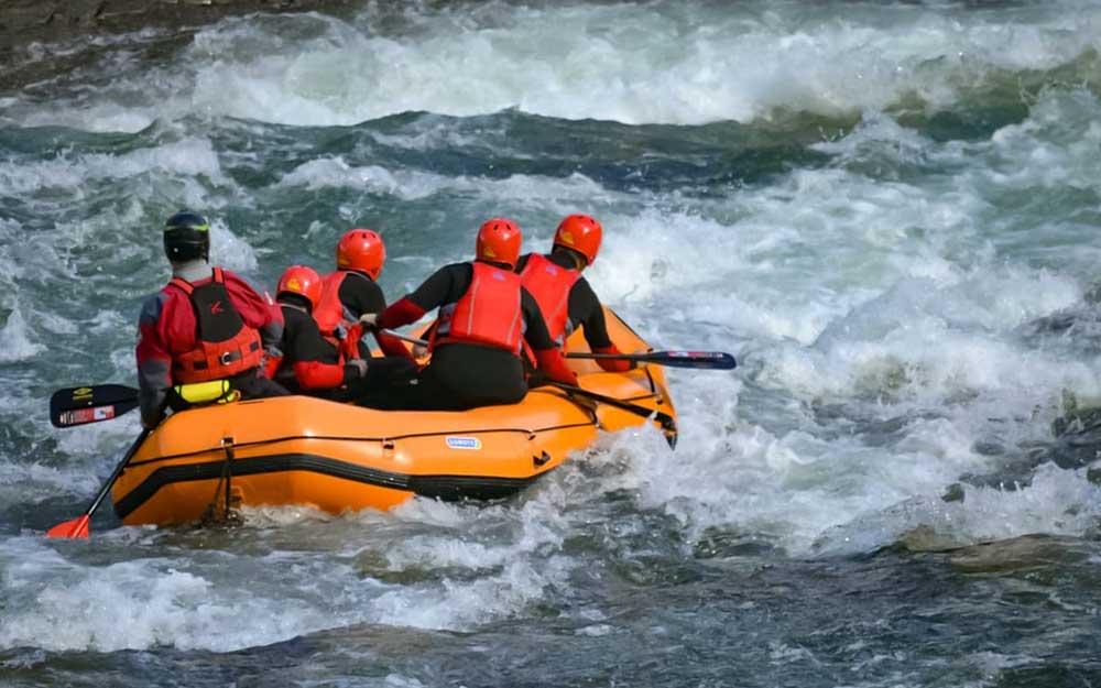
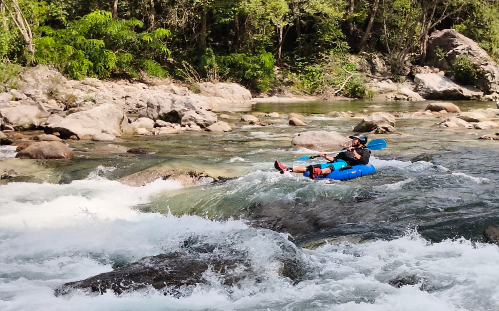
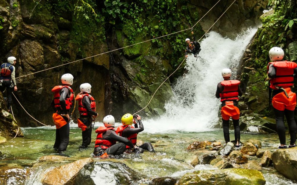
BergamoXP
BergamoXP is the first aquatic sports center in the province of Bergamo. We are professionals specializing in the disciplines of Kayak, Canyoning, Rafting, Hydrospeed, River Trekking. We are a team of nature, outdoor and adventure enthusiasts, lovers and connoisseurs of our area.
Choose BergamoXP, the adventure in our backyard is waiting for you!
.