Discover with us the itinerary for the excursion to the Grassi Refuge, in Val Brembana
The Grassi Refuge is located at an altitude of 1987 meters, in the municipality of Valtorta, in the upper Brembana Valley. Owned by the SEL (Lecco Hikers Society), the original building dates back to 1921, built by the SEL itself to commemorate its fallen during the First World War. Following its destruction during World War II by the Germans, it was rebuilt in 1946 and then expanded and modernized in 1960 and 1998.
The refuge is located along the ridge of Pizzo Tre Signori, on the border of the provinces of Bergamo, Lecco and Sondrio. In this article we are going to see the summer itinerary to reach it from Valtorta, in the Ceresole area.

TRIP SUMMARY
DIFFICULTY: moderate
TOTAL ELEVATION GAIN: about 750 meters
MAX HEIGHT: 2022 mt
Type: A/R
DURATION: 2.5h one way
DEPARTURE: Valtorta (BG)
ARRIVAL: Rifugio Grassi (BG)
CAI TRAIL SIGN: 101
We pass the village of Valtorta and continue until we reach the large parking lot of the Trifoglio Refuge, where we leave the car. In winter, this is the start of the ski lifts in the Valtorta-Piani di Bobbio ski area.
We continue on foot along the road which, after a sharp bend, becomes a dirt road. At a hairpin bend, we leave this too, following the signs to the right for our destination. Continuing along the path we reach the Cedrino track, which we follow uphill. About halfway through, a path bends to the right, with signs for the Passo di Gandasso. We follow it until we reach it and thus connect to the CAI 101 path.

At the Gandasso pass there is a crossroads, on the left you reach the Buzzoni refuge, on the right the Grassi refuge. Taking the right, we continue along the 101 with a steeper slope, until we reach the Passo del Toro. From here the path, always well marked, becomes less demanding. Between easy ups and downs and hairpin bends, continue along the ridge until you reach the Grassi refuge, in about 1.15 minutes of walking.

The refuge is located near the pass and pasture of Camisolo, an area still used today for summer pastures and cheese production. Furthermore, since the Middle Ages, this area has been widely exploited for mining and, although it has since fallen into disuse, the evident signs still remain.
The refuge boasts 24 beds and excellent home cooking.
The return takes place along the same route as the outward journey.

The itinerary is technically easy but requires a minimum of training. You can find the interactive map of the route, complete with elevation profile and downloadable GPS track, at this link.
Always carefully plan your trips, choosing the appropriate material and equipment and verifying the itinerary before embarking on it.
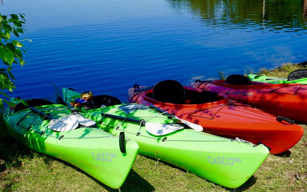
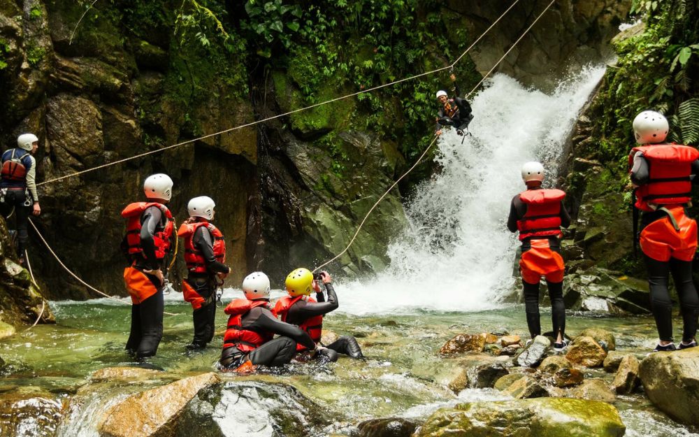
BergamoXP
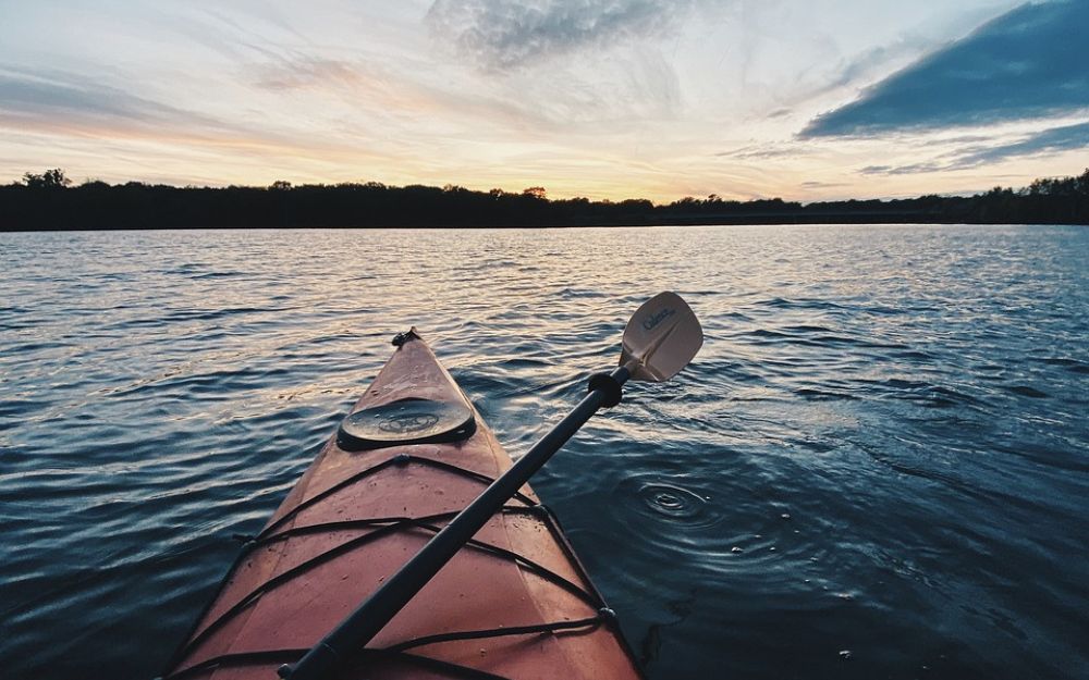
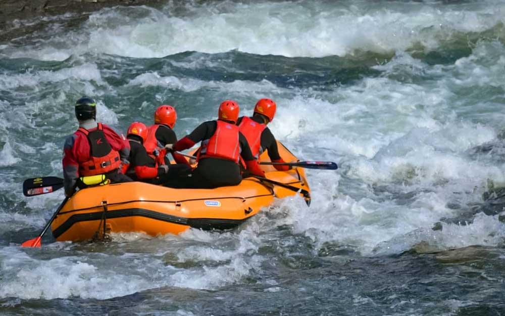
BergamoXP is the first aquatic sports center in the province of Bergamo. We are professionals specializing in the disciplines ofKayak, Canyoning, Rafting, Hydrospeed, River Trekking. We are a team of nature, outdoor and adventure enthusiasts, lovers and connoisseurs of our area.
Choose BergamoXP, the adventure in our backyard is waiting for you!
.