Inside the Basin of the Giants! Discover the itinerary for the hike to Pizzo Recastello with us.
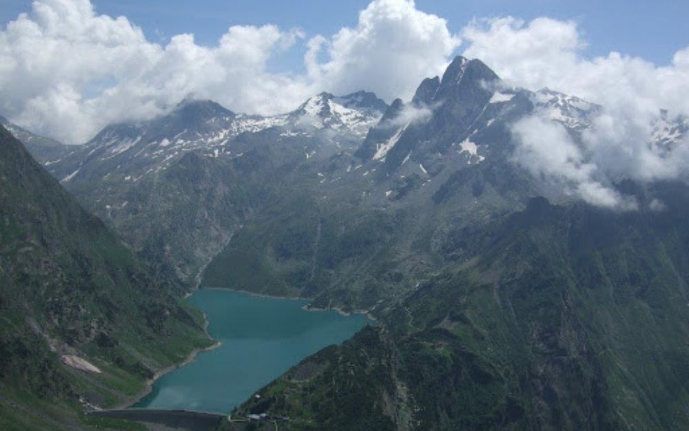
At 2886 meters, Pizzo Recastello is one of the highest peaks in the Orobie Alps. From its summit, you can enjoy a fantastic view of Lake Barbellino, known as the Basin of the Giants, because all the highest mountains in the Orobie range overlook it.
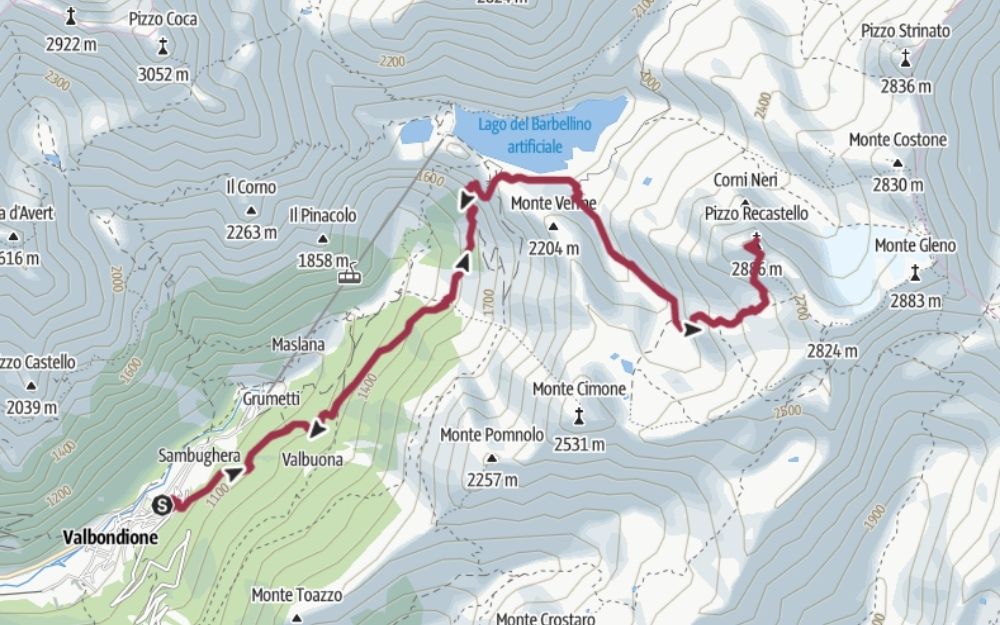
The itinerary starts from Valbondione in Alta Valle Seriana, where we leave the car. From here, we follow the signs for Rifugio Antonio Curò. This part of the itinerary takes place on an easy trail. To save half an hour, about halfway to the refuge, you can take the direct trail that leads more steeply to the refuge itself. After a short break, we continue along the artificial lake of Barbellino until we find the signs for Rifugio Tagliaferri and Pizzo Recastello on a rock above a wooden bridge.
We then climb the lonely Val Cerviera until we reach a fork where our destination is indicated on the left. The effort now increases. Following the obvious trail and numerous cairns, we cross a wide scree until we reach the start of a very steep couloir. This short section is equipped with fixed chains that facilitate the ascent and descent.

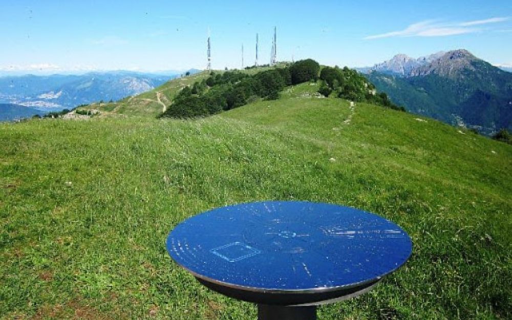
After passing the couloir, we climb a wide but exposed traverse until we reach the ridge, which we follow easily to the summit of Pizzo Recastello. From here, you can enjoy a wide panorama of the Prealps and the Rhaetian Alps, as well as Barbellino lake and the other giants of the Orobie range.

The return takes place along the same itinerary as the ascent.
This hike requires good training due to the considerable difference in altitude to be covered and also has some passages in the final part that require a sure foot and hand.
You can find the interactive map of the route, complete with altitude and downloadable GPS track, at this link.
Always organize your trips with care, choose appropriate equipment, and verify the itinerary before embarking on it.

BergamoXP
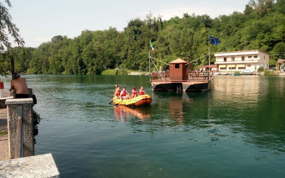
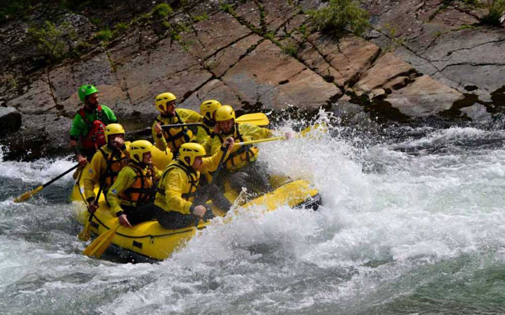
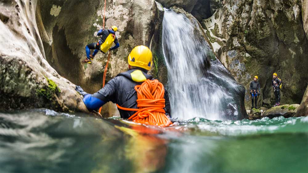
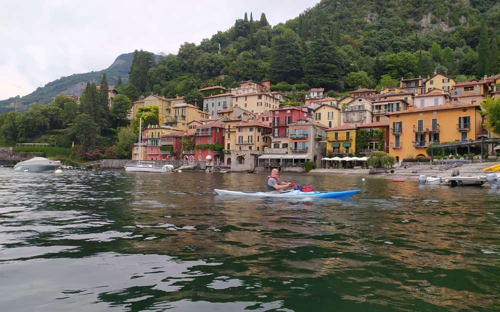
BergamoXP is the first aquatic sports center in the province of Bergamo. We are a team of nature enthusiasts, outdoor and adventure lovers, connoisseurs of our territory and professionals specializing in the disciplines of Kayak, Canyoning, Rafting, Hydrospeed, River Trekking.
Choose BergamoXP, the adventure in our backyard is waiting for you!